Distance to Gold Point, Nevada

Calculating Your Route
Just a moment while we process your request...
Location Information
-
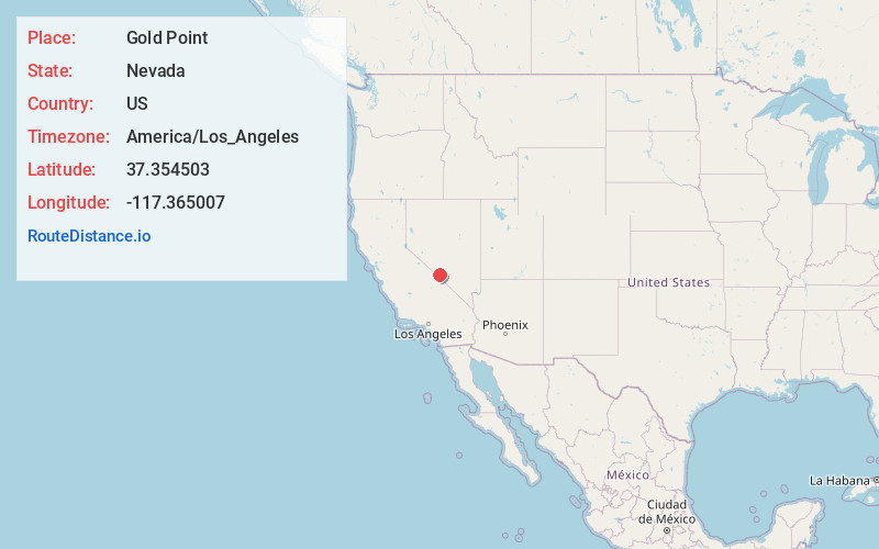
Full AddressGold Point, NV 89013
-
Coordinates37.3545032, -117.365007
-
LocationGold Point , Nevada , US
-
TimezoneAmerica/Los_Angeles
-
Current Local Time12:06:22 AM America/Los_AngelesWednesday, May 28, 2025
-
Website
-
Page Views0
About Gold Point
Gold Point, Nevada is an unincorporated community in Esmeralda County, Nevada. The community was named after the local gold-mining industry. Gold Point is the southern terminus of Nevada State Route 774. Its current population is about seven.


Nearby Places
Found 9 places within 50 miles

Tokop
6.8 mi
10.9 km
Tokop, NV 89013
Get directions

Goldfield
25.5 mi
41.0 km
Goldfield, NV 89013
Get directions

Silver Peak
31.3 mi
50.4 km
Silver Peak, NV 89047
Get directions

Alkali
32.6 mi
52.5 km
Alkali, NV
Get directions

Deep Springs
34.0 mi
54.7 km
Deep Springs, CA 93513
Get directions

Rhyolite
43.0 mi
69.2 km
Rhyolite, NV 89003
Get directions

Dyer
44.1 mi
71.0 km
Dyer, NV 89010
Get directions

Beatty
45.4 mi
73.1 km
Beatty, NV 89003
Get directions

Tonopah
49.9 mi
80.3 km
Tonopah, NV 89049
Get directions
Location Links
Local Weather
Weather Information
Coming soon!
Location Map
Static map view of Gold Point, Nevada
Browse Places by Distance
Places within specific distances from Gold Point
Short Distances
Long Distances
Click any distance to see all places within that range from Gold Point. Distances shown in miles (1 mile ≈ 1.61 kilometers).