Distance to Bonnie Claire, Nevada

Calculating Your Route
Just a moment while we process your request...
Location Information
-
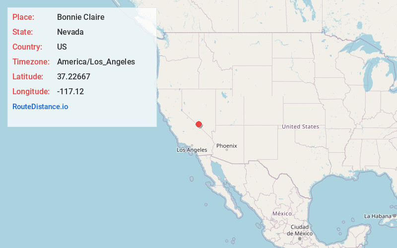
Full AddressBonnie Claire, NV
-
Coordinates37.22667, -117.12
-
LocationBonnie Claire , Nevada , US
-
TimezoneAmerica/Los_Angeles
-
Current Local Time9:13:27 PM America/Los_AngelesMonday, June 2, 2025
-
Page Views0
About Bonnie Claire
Bonnie Claire is a ghost town located in Nye County, Nevada. The settlement is located on the edge of Sarcobatus Flat adjacent to Nevada State Route 267. The mines of Slate Ridge lie to the northwest and the northernmost spur of the Amargosa Range, the Grapevine Mountains, is just to the south of the townsite.


Nearby Places
Found 9 places within 50 miles

Tokop
9.3 mi
15.0 km
Tokop, NV 89013
Get directions

Gold Point
16.1 mi
25.9 km
Gold Point, NV 89013
Get directions

Rhyolite
27.5 mi
44.3 km
Rhyolite, NV 89003
Get directions

Beatty
29.6 mi
47.6 km
Beatty, NV 89003
Get directions

Goldfield
33.9 mi
54.6 km
Goldfield, NV 89013
Get directions
West Spring
35.2 mi
56.6 km
West Spring, NV 89013
Get directions

Alkali
43.1 mi
69.4 km
Alkali, NV
Get directions

Silver Peak
46.1 mi
74.2 km
Silver Peak, NV 89047
Get directions

Deep Springs
48.5 mi
78.1 km
Deep Springs, CA 93513
Get directions
Location Links
Local Weather
Weather Information
Coming soon!
Location Map
Static map view of Bonnie Claire, Nevada
Browse Places by Distance
Places within specific distances from Bonnie Claire
Short Distances
Long Distances
Click any distance to see all places within that range from Bonnie Claire. Distances shown in miles (1 mile ≈ 1.61 kilometers).