Distance to Georgetown, Missouri

Calculating Your Route
Just a moment while we process your request...
Location Information
-
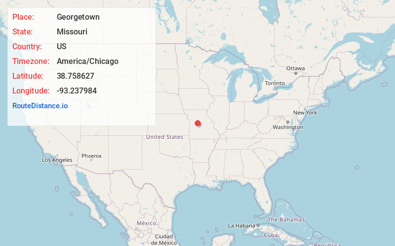
Full AddressGeorgetown, MO 65301
-
Coordinates38.7586269, -93.2379841
-
LocationGeorgetown , Missouri , US
-
TimezoneAmerica/Chicago
-
Current Local Time12:47:39 PM America/ChicagoTuesday, July 1, 2025
-
Page Views0
About Georgetown
Georgetown is an unincorporated community or populated place located in Pettis County, Missouri, United States.
The community is located on Missouri Route H approximately one mile west of US Route 65 and three miles north of Sedalia.
Nearby Places
Found 10 places within 50 miles

Sedalia
3.8 mi
6.1 km
Sedalia, MO 65301
Get directions

Dresden
5.2 mi
8.4 km
Dresden, MO 65301
Get directions
Hughesville
6.3 mi
10.1 km
Hughesville, MO 65334
Get directions

Smithton
9.5 mi
15.3 km
Smithton, MO 65350
Get directions

La Monte
10.1 mi
16.3 km
La Monte, MO 65337
Get directions
Longwood
10.4 mi
16.7 km
Longwood, MO 65334
Get directions

Clifton City
10.6 mi
17.1 km
Clifton City, MO 65348
Get directions
Houstonia
11.7 mi
18.8 km
Houstonia, MO 65333
Get directions

Green Ridge
13.3 mi
21.4 km
Green Ridge, MO 65332
Get directions
Otterville
13.3 mi
21.4 km
Otterville, MO 65348
Get directions
Location Links
Local Weather
Weather Information
Coming soon!
Location Map
Static map view of Georgetown, Missouri
Browse Places by Distance
Places within specific distances from Georgetown
Short Distances
Long Distances
Click any distance to see all places within that range from Georgetown. Distances shown in miles (1 mile ≈ 1.61 kilometers).