Distance to Gifford, Iowa

Calculating Your Route
Just a moment while we process your request...
Location Information
-
Full AddressGifford, IA
-
Coordinates42.2882945, -93.0892161
-
LocationGifford , Iowa , US
-
TimezoneAmerica/Chicago
-
Current Local Time6:58:45 PM America/ChicagoSaturday, May 31, 2025
-
Page Views0
About Gifford
Gifford is an unincorporated community in southeastern Hardin County, Iowa, United States.
The community was founded in 1875 and was the site of two railroad lines: the Chicago & North Western Railroad and the Iowa Central Railroad.
Nearby Places
Found 10 places within 50 miles

Union
3.2 mi
5.1 km
Union, IA 50258
Get directions

New Providence
4.2 mi
6.8 km
New Providence, IA 50206
Get directions
Whitten
4.7 mi
7.6 km
Whitten, IA
Get directions

Eldora
5.6 mi
9.0 km
Eldora, IA 50627
Get directions
Rough Woods Hill
7.9 mi
12.7 km
Rough Woods Hill, IA 50627
Get directions
Liscomb
8.1 mi
13.0 km
Liscomb, IA
Get directions

Steamboat Rock
8.1 mi
13.0 km
Steamboat Rock, IA
Get directions

Hardin County
10.7 mi
17.2 km
Hardin County, IA
Get directions
Hubbard
10.8 mi
17.4 km
Hubbard, IA 50122
Get directions
Owasa
11.7 mi
18.8 km
Owasa, IA 50126
Get directions
Location Links
Local Weather
Weather Information
Coming soon!
Location Map
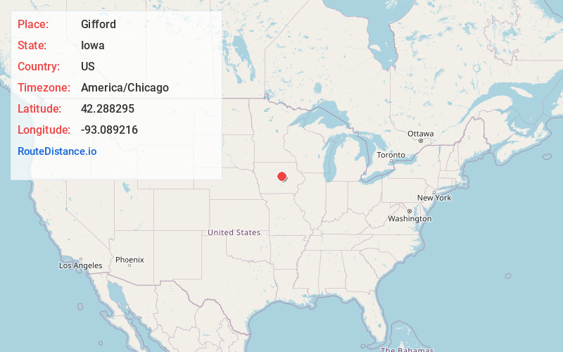
Static map view of Gifford, Iowa
Browse Places by Distance
Places within specific distances from Gifford
Short Distances
Long Distances
Click any distance to see all places within that range from Gifford. Distances shown in miles (1 mile ≈ 1.61 kilometers).