Distance to Gildford, Montana

Calculating Your Route
Just a moment while we process your request...
Location Information
-
Full AddressGildford, MT 59525
-
Coordinates48.5693526, -110.2997548
-
LocationGildford , Montana , US
-
TimezoneAmerica/Denver
-
Current Local Time1:34:55 AM America/DenverSaturday, May 31, 2025
-
Page Views0
About Gildford
Gildford is an unincorporated community and census-designated place in Hill County, Montana, United States. The population was 179 at the 2010 census.
The town was named for Guildford, England. A flour mill, which milled Golden Grain Flour, operated from 1915 to 1951.


Nearby Places
Found 10 places within 50 miles

Rudyard
11.7 mi
18.8 km
Rudyard, MT 59540
Get directions

Joplin
21.6 mi
34.8 km
Joplin, MT 59531
Get directions

Beaver Creek
23.2 mi
37.3 km
Beaver Creek, MT 59501
Get directions
Boneau
27.8 mi
44.7 km
Boneau, MT 59521
Get directions

Havre
28.2 mi
45.4 km
Havre, MT 59501
Get directions

Big Sandy
28.3 mi
45.5 km
Big Sandy, MT 59520
Get directions

Havre North
28.8 mi
46.3 km
Havre North, MT 59501
Get directions
Azure
28.9 mi
46.5 km
Azure, MT 59521
Get directions
Sangrey
29.8 mi
48.0 km
Sangrey, MT 59521
Get directions

Saddle Butte
30.1 mi
48.4 km
Saddle Butte, MT 59501
Get directions
Location Links
Local Weather
Weather Information
Coming soon!
Location Map
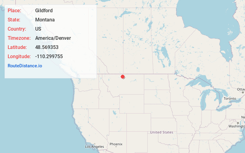
Static map view of Gildford, Montana
Browse Places by Distance
Places within specific distances from Gildford
Short Distances
Long Distances
Click any distance to see all places within that range from Gildford. Distances shown in miles (1 mile ≈ 1.61 kilometers).