Distance to Gilead, Nebraska

Calculating Your Route
Just a moment while we process your request...
Location Information
-
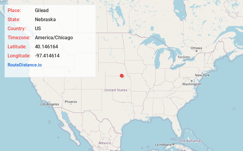
Full AddressGilead, NE 68362
-
Coordinates40.1461639, -97.4146136
-
LocationGilead , Nebraska , US
-
TimezoneAmerica/Chicago
-
Current Local Time8:57:59 PM America/ChicagoMonday, May 19, 2025
-
Page Views0
About Gilead
Gilead is a village in Thayer County, Nebraska, United States. The population was 32 at the 2020 census.
Nearby Places
Found 10 places within 50 miles

Alexandria
7.0 mi
11.3 km
Alexandria, NE 68303
Get directions

Reynolds
7.4 mi
11.9 km
Reynolds, NE 68352
Get directions

Hebron
9.2 mi
14.8 km
Hebron, NE 68370
Get directions
Belvidere
10.5 mi
16.9 km
Belvidere, NE 68315
Get directions

Hubbell
10.6 mi
17.1 km
Hubbell, NE 68375
Get directions
Mahaska
11.4 mi
18.3 km
Mahaska, KS 66955
Get directions

Fairbury
12.4 mi
20.0 km
Fairbury, NE 68352
Get directions

Narka
12.8 mi
20.6 km
Narka, KS 66960
Get directions

Daykin
13.6 mi
21.9 km
Daykin, NE
Get directions

Chester
14.4 mi
23.2 km
Chester, NE 68327
Get directions
Location Links
Local Weather
Weather Information
Coming soon!
Location Map
Static map view of Gilead, Nebraska
Browse Places by Distance
Places within specific distances from Gilead
Short Distances
Long Distances
Click any distance to see all places within that range from Gilead. Distances shown in miles (1 mile ≈ 1.61 kilometers).