Distance to Narka, Kansas

Calculating Your Route
Just a moment while we process your request...
Location Information
-
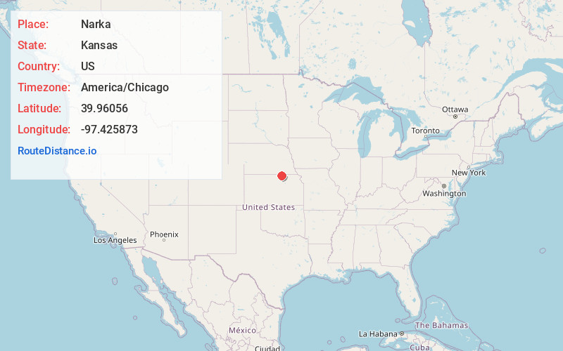
Full AddressNarka, KS 66960
-
Coordinates39.9605603, -97.4258732
-
LocationNarka , Kansas , US
-
TimezoneAmerica/Chicago
-
Current Local Time7:17:32 PM America/ChicagoFriday, June 20, 2025
-
Page Views0
About Narka
Narka is a city in Republic County, Kansas, United States. As of the 2020 census, the population of the city was 81.


Nearby Places
Found 10 places within 50 miles

Munden
6.8 mi
10.9 km
Munden, KS 66959
Get directions
Haddam
9.7 mi
15.6 km
Haddam, KS 66944
Get directions

Chester
10.8 mi
17.4 km
Chester, NE 68327
Get directions
Cuba
11.0 mi
17.7 km
Cuba, KS 66940
Get directions

Belleville
14.4 mi
23.2 km
Belleville, KS 66935
Get directions
Morrowville
15.7 mi
25.3 km
Morrowville, KS 66958
Get directions

Hebron
16.5 mi
26.6 km
Hebron, NE 68370
Get directions

Fairbury
18.3 mi
29.5 km
Fairbury, NE 68352
Get directions

Endicott
19.2 mi
30.9 km
Endicott, NE
Get directions
Alexandria
19.8 mi
31.9 km
Alexandria, NE 68303
Get directions
Location Links
Local Weather
Weather Information
Coming soon!
Location Map
Static map view of Narka, Kansas
Browse Places by Distance
Places within specific distances from Narka
Short Distances
Long Distances
Click any distance to see all places within that range from Narka. Distances shown in miles (1 mile ≈ 1.61 kilometers).