Distance to Morrowville, Kansas

Calculating Your Route
Just a moment while we process your request...
Location Information
-
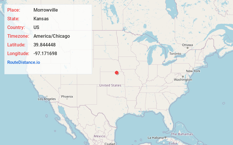
Full AddressMorrowville, KS 66958
-
Coordinates39.8444478, -97.1716984
-
LocationMorrowville , Kansas , US
-
TimezoneAmerica/Chicago
-
Current Local Time12:40:53 AM America/ChicagoTuesday, June 3, 2025
-
Page Views0
About Morrowville
Morrowville is a city in Washington County, Kansas, United States. As of the 2020 census, the population of the city was 114.
Nearby Places
Found 10 places within 50 miles

Washington
6.7 mi
10.8 km
Washington, KS 66968
Get directions
Greenleaf
13.1 mi
21.1 km
Greenleaf, KS 66943
Get directions
Palmer
14.8 mi
23.8 km
Palmer, KS 66962
Get directions
Cuba
15.4 mi
24.8 km
Cuba, KS 66940
Get directions

Hanover
15.9 mi
25.6 km
Hanover, KS
Get directions

Endicott
16.9 mi
27.2 km
Endicott, NE
Get directions

Clifton
20.0 mi
32.2 km
Clifton, KS 66937
Get directions
Bremen
20.6 mi
33.2 km
Bremen, KS 66412
Get directions

Fairbury
20.9 mi
33.6 km
Fairbury, NE 68352
Get directions
Clyde
21.3 mi
34.3 km
Clyde, KS 66938
Get directions
Location Links
Local Weather
Weather Information
Coming soon!
Location Map
Static map view of Morrowville, Kansas
Browse Places by Distance
Places within specific distances from Morrowville
Short Distances
Long Distances
Click any distance to see all places within that range from Morrowville. Distances shown in miles (1 mile ≈ 1.61 kilometers).