Distance to Gilson Gulch, Colorado

Calculating Your Route
Just a moment while we process your request...
Location Information
-
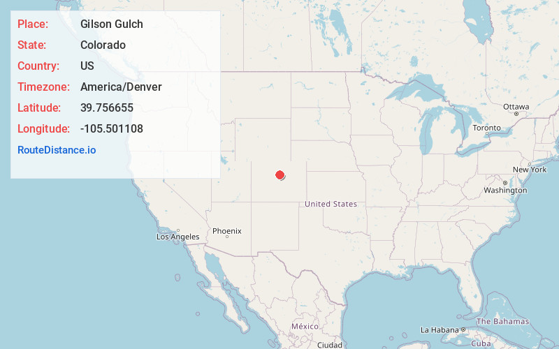
Full AddressGilson Gulch, Colorado 80452
-
Coordinates39.7566547, -105.5011077
-
LocationColorado , US
-
TimezoneAmerica/Denver
-
Current Local Time6:13:35 PM America/DenverMonday, June 2, 2025
-
Page Views0
Nearby Places
Found 10 places within 50 miles

Idaho Springs
1.2 mi
1.9 km
Idaho Springs, CO
Get directions

Black Hawk
2.8 mi
4.5 km
Black Hawk, CO
Get directions

Nevadaville
3.1 mi
5.0 km
Nevadaville, CO 80452
Get directions

Central City
3.2 mi
5.1 km
Central City, CO
Get directions

Black Eagle Mill
3.2 mi
5.1 km
Black Eagle Mill, CO 80452
Get directions
Floyd Hill
4.1 mi
6.6 km
Floyd Hill, CO 80439
Get directions
Freeland
5.1 mi
8.2 km
Freeland, CO 80452
Get directions
Downieville-Lawson-Dumont
6.2 mi
10.0 km
Downieville-Lawson-Dumont, CO
Get directions

Lawson
6.7 mi
10.8 km
Lawson, Downieville-Lawson-Dumont, CO 80436
Get directions
Nugget
8.7 mi
14.0 km
Nugget, CO 80422
Get directions
Location Links
Local Weather
Weather Information
Coming soon!
Location Map
Static map view of Gilson Gulch, Colorado
Browse Places by Distance
Places within specific distances from Gilson Gulch
Short Distances
Long Distances
Click any distance to see all places within that range from Gilson Gulch. Distances shown in miles (1 mile ≈ 1.61 kilometers).