Distance to Gimlet, Kentucky

Calculating Your Route
Just a moment while we process your request...
Location Information
-
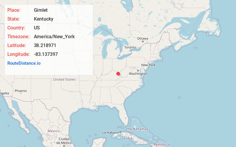
Full AddressGimlet, KY 41164
-
Coordinates38.2189711, -83.1373966
-
LocationGimlet , Kentucky , US
-
TimezoneAmerica/New_York
-
Current Local Time2:18:00 AM America/New_YorkThursday, June 19, 2025
-
Page Views0
About Gimlet
Gimlet is an unincorporated community in Elliott County, Kentucky, United States. It lies along Route 504 north of the city of Sandy Hook, the county seat of Elliott County. Its elevation is 1,102 feet.
A post office, established in 1880, closed in 1961.
Nearby Places
Found 10 places within 50 miles

Ross
3.0 mi
4.8 km
Ross, KY 41164
Get directions
Stark
3.1 mi
5.0 km
Stark, KY 41164
Get directions
Beartown
3.6 mi
5.8 km
Beartown, KY 41164
Get directions
Access
3.7 mi
6.0 km
Access, KY 41164
Get directions
Ibex
4.6 mi
7.4 km
Ibex, KY 41164
Get directions
Cory
4.7 mi
7.6 km
Cory, KY 41164
Get directions
Mountain Top
5.0 mi
8.0 km
Mountain Top, KY 41164
Get directions
Limestone
5.0 mi
8.0 km
Limestone, KY 41164
Get directions
Dewdrop
5.1 mi
8.2 km
Dewdrop, KY 41171
Get directions
Sideway
5.4 mi
8.7 km
Sideway, KY 41164
Get directions
Location Links
Local Weather
Weather Information
Coming soon!
Location Map
Static map view of Gimlet, Kentucky
Browse Places by Distance
Places within specific distances from Gimlet
Short Distances
Long Distances
Click any distance to see all places within that range from Gimlet. Distances shown in miles (1 mile ≈ 1.61 kilometers).