Distance to Stark, Kentucky

Calculating Your Route
Just a moment while we process your request...
Location Information
-
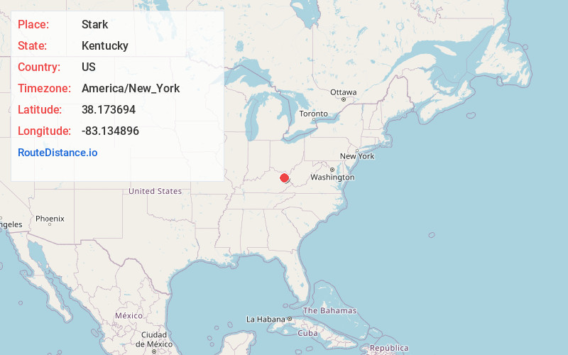
Full AddressStark, KY 41164
-
Coordinates38.1736942, -83.1348961
-
LocationStark , Kentucky , US
-
TimezoneAmerica/New_York
-
Current Local Time10:27:10 PM America/New_YorkWednesday, June 18, 2025
-
Page Views0
About Stark
Stark is an unincorporated community within Elliott County, Kentucky, United States.
Nearby Places
Found 10 places within 50 miles

Dewdrop
2.0 mi
3.2 km
Dewdrop, KY 41171
Get directions
Beartown
3.0 mi
4.8 km
Beartown, KY 41164
Get directions
Newfoundland
3.5 mi
5.6 km
Newfoundland, KY 41171
Get directions
Access
4.3 mi
6.9 km
Access, KY 41164
Get directions
Bigstone
5.1 mi
8.2 km
Bigstone, KY 41171
Get directions

Sandy Hook
6.0 mi
9.7 km
Sandy Hook, KY 41171
Get directions
Ross
6.1 mi
9.8 km
Ross, KY 41164
Get directions
Bruin
6.4 mi
10.3 km
Bruin, KY 41164
Get directions
The Ridge
6.5 mi
10.5 km
The Ridge, KY 41171
Get directions
Lytten
6.7 mi
10.8 km
Lytten, KY 41171
Get directions
Location Links
Local Weather
Weather Information
Coming soon!
Location Map
Static map view of Stark, Kentucky
Browse Places by Distance
Places within specific distances from Stark
Short Distances
Long Distances
Click any distance to see all places within that range from Stark. Distances shown in miles (1 mile ≈ 1.61 kilometers).