Distance to Glaser Ford, Missouri

Calculating Your Route
Just a moment while we process your request...
Location Information
-
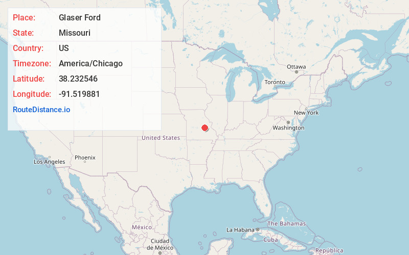
Full AddressGlaser Ford, Brush Creek Township, MO 65066
-
Coordinates38.232546, -91.5198807
-
LocationBrush Creek Township , Missouri , US
-
TimezoneAmerica/Chicago
-
Current Local Time10:57:28 PM America/ChicagoWednesday, June 18, 2025
-
Page Views0
Nearby Places
Found 10 places within 50 miles

Bem
3.6 mi
5.8 km
Bem, MO 65066
Get directions
Sewell Ford
3.9 mi
6.3 km
Sewell Ford, Bourbois Township, MO 65014
Get directions
Redbird
4.5 mi
7.2 km
Redbird, MO 65014
Get directions
Jake Prairie
4.8 mi
7.7 km
Jake Prairie, Oak Hill Township, MO 65066
Get directions
Canaan
5.9 mi
9.5 km
Canaan, MO 65066
Get directions

Bland
7.8 mi
12.6 km
Bland, MO 65014
Get directions
Owensville
7.9 mi
12.7 km
Owensville, MO 65066
Get directions
Royal
7.9 mi
12.7 km
Royal, Dawson Township, MO 65559
Get directions
Old Bland
8.0 mi
12.9 km
Old Bland, Clay Township, MO 65014
Get directions
High Gate
9.9 mi
15.9 km
High Gate, MO 65559
Get directions
Location Links
Local Weather
Weather Information
Coming soon!
Location Map
Static map view of Glaser Ford, Missouri
Browse Places by Distance
Places within specific distances from Glaser Ford
Short Distances
Long Distances
Click any distance to see all places within that range from Glaser Ford. Distances shown in miles (1 mile ≈ 1.61 kilometers).