Distance to Glen Ferris, West Virginia

Calculating Your Route
Just a moment while we process your request...
Location Information
-
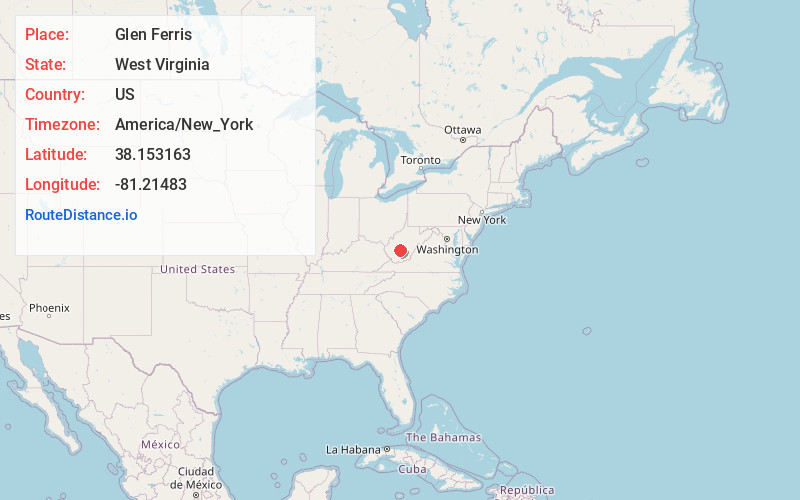
Full AddressGlen Ferris, WV
-
Coordinates38.153163, -81.2148303
-
LocationGlen Ferris , West Virginia , US
-
TimezoneAmerica/New_York
-
Current Local Time7:47:02 PM America/New_YorkThursday, May 29, 2025
-
Page Views0
About Glen Ferris
Glen Ferris is a census-designated place on the western bank of the Kanawha River in Fayette County, West Virginia, United States. It is situated approximately one mile south of the town of Gauley Bridge and adjacent to Kanawha Falls.


Nearby Places
Found 10 places within 50 miles

Gauley Bridge
1.5 mi
2.4 km
Gauley Bridge, WV 25085
Get directions

Charlton Heights
2.3 mi
3.7 km
Charlton Heights, WV 25115
Get directions

Falls View
2.5 mi
4.0 km
Falls View, WV 25139
Get directions
Deep Water
3.2 mi
5.1 km
Deep Water, WV 25139
Get directions

Boomer
3.9 mi
6.3 km
Boomer, WV
Get directions
Mt Carbon
4.1 mi
6.6 km
Mt Carbon, WV
Get directions
Kimberly
4.9 mi
7.9 km
Kimberly, WV
Get directions

Smithers
5.4 mi
8.7 km
Smithers, WV
Get directions

Ansted
6.4 mi
10.3 km
Ansted, WV 25812
Get directions

Montgomery
6.5 mi
10.5 km
Montgomery, WV 25136
Get directions
Location Links
Local Weather
Weather Information
Coming soon!
Location Map
Static map view of Glen Ferris, West Virginia
Browse Places by Distance
Places within specific distances from Glen Ferris
Short Distances
Long Distances
Click any distance to see all places within that range from Glen Ferris. Distances shown in miles (1 mile ≈ 1.61 kilometers).