Distance to Glenbrook, Oregon

Calculating Your Route
Just a moment while we process your request...
Location Information
-
Full AddressGlenbrook, OR 97456
-
Coordinates44.31389, -123.40528
-
LocationGlenbrook , Oregon , US
-
TimezoneAmerica/Los_Angeles
-
Current Local Time2:13:59 PM America/Los_AngelesSaturday, June 28, 2025
-
Page Views0
About Glenbrook
Glenbrook was a logging town in Benton County, Oregon, United States. Glenbrook lies on Alpine Road west of Alpine and south of Dawson.
Nearby Places
Found 10 places within 50 miles

Alpine
2.5 mi
4.0 km
Alpine, OR 97456
Get directions
Bellfountain
4.3 mi
6.9 km
Bellfountain, OR 97456
Get directions

Monroe
5.4 mi
8.7 km
Monroe, OR 97456
Get directions

Long Tom River
8.0 mi
12.9 km
Long Tom River, Oregon
Get directions

Horton
8.4 mi
13.5 km
Horton, OR 97412
Get directions
Low Pass
9.0 mi
14.5 km
Low Pass, OR 97419
Get directions

Cheshire
10.4 mi
16.7 km
Cheshire, OR
Get directions

Blachly
10.4 mi
16.7 km
Blachly, OR 97412
Get directions

Alsea
10.6 mi
17.1 km
Alsea, OR 97324
Get directions
Goldson
10.9 mi
17.5 km
Goldson, OR 97448
Get directions
Location Links
Local Weather
Weather Information
Coming soon!
Location Map
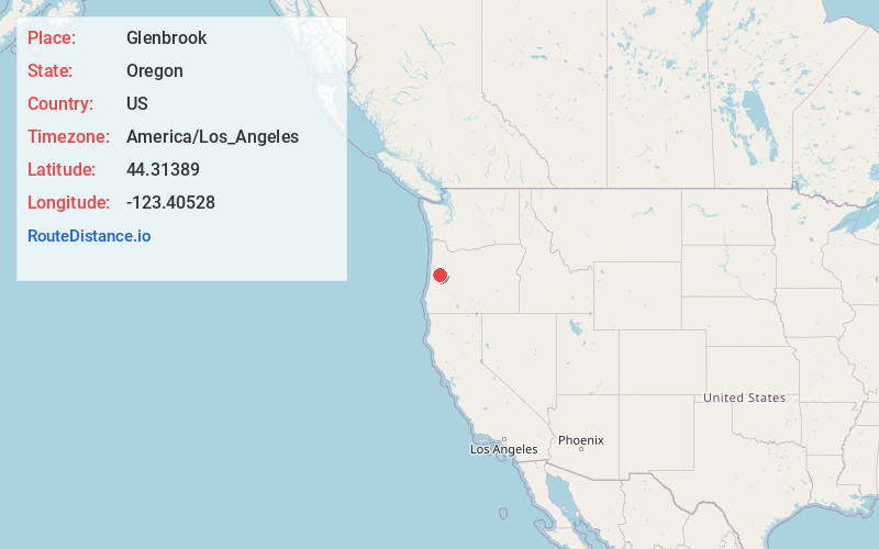
Static map view of Glenbrook, Oregon
Browse Places by Distance
Places within specific distances from Glenbrook
Short Distances
Long Distances
Click any distance to see all places within that range from Glenbrook. Distances shown in miles (1 mile ≈ 1.61 kilometers).