Distance to Glendale, Kansas

Calculating Your Route
Just a moment while we process your request...
Location Information
-
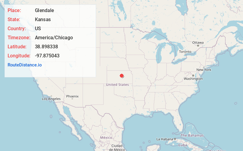
Full AddressGlendale, KS 67425
-
Coordinates38.8983378, -97.8750433
-
LocationGlendale , Kansas , US
-
TimezoneAmerica/Chicago
-
Current Local Time6:56:02 PM America/ChicagoThursday, June 19, 2025
-
Page Views0
About Glendale
Glendale is an unincorporated community in Saline County, Kansas, United States. It is located approximately 15 miles northwest of Salina, along the Kansas and Oklahoma Railroad line, at the intersection of north Brookville and west Watkins roads, about 1.0 mile north of I-70.
Nearby Places
Found 10 places within 50 miles

Tescott
7.6 mi
12.2 km
Tescott, KS 67484
Get directions
Culver
8.0 mi
12.9 km
Culver, KS 67484
Get directions

Brookville
8.5 mi
13.7 km
Brookville, KS 67425
Get directions
Bavaria
9.5 mi
15.3 km
Bavaria, KS 67401
Get directions

Beverly
9.6 mi
15.4 km
Beverly, KS 67423
Get directions

Salina
14.7 mi
23.7 km
Salina, KS
Get directions
Smolan
15.1 mi
24.3 km
Smolan, KS 67456
Get directions
Falun
16.9 mi
27.2 km
Falun, KS 67442
Get directions
Lindsey
17.1 mi
27.5 km
Lindsey, Concord Township, KS 67467
Get directions
Ada
17.5 mi
28.2 km
Ada, KS 67467
Get directions
Location Links
Local Weather
Weather Information
Coming soon!
Location Map
Static map view of Glendale, Kansas
Browse Places by Distance
Places within specific distances from Glendale
Short Distances
Long Distances
Click any distance to see all places within that range from Glendale. Distances shown in miles (1 mile ≈ 1.61 kilometers).