Distance to Glendower, Virginia

Calculating Your Route
Just a moment while we process your request...
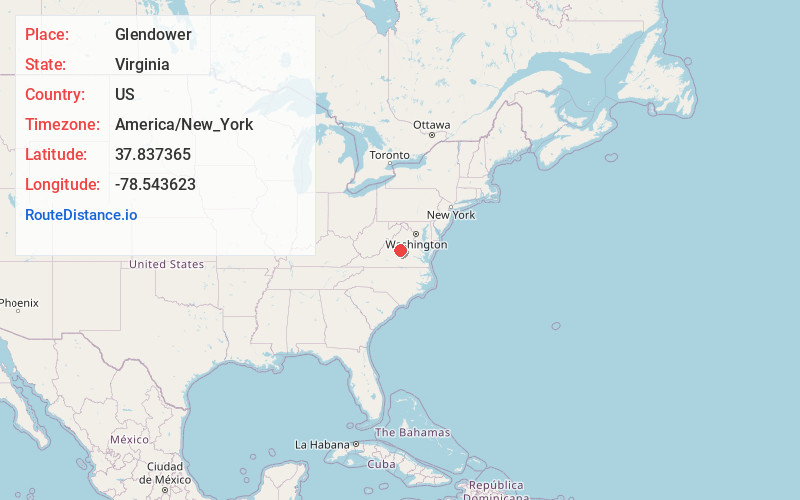
Location Information
-
Full AddressGlendower, VA 22946
-
Coordinates37.8373645, -78.5436226
-
LocationVirginia , US
-
TimezoneAmerica/New_York
-
Current Local Time3:40:21 PM America/New_YorkTuesday, June 24, 2025
-
Page Views0
About Glendower
Glendower is an unincorporated community in Albemarle County, Virginia.
Pine Knot was listed on the National Register of Historic Places in 1989.
Nearby Places
Found 10 places within 50 miles

Esmont
3.5 mi
5.6 km
Esmont, VA 22937
Get directions

Scottsville
3.7 mi
6.0 km
Scottsville, VA 24590
Get directions

Warren
5.0 mi
8.0 km
Warren, VA 24590
Get directions
Alberene
5.2 mi
8.4 km
Alberene, VA 22937
Get directions
Blenheim
5.5 mi
8.9 km
Blenheim, VA 22902
Get directions
Payne
8.1 mi
13.0 km
Payne, VA 24590
Get directions

North Garden
8.8 mi
14.2 km
North Garden, VA 22959
Get directions

Schuyler
9.0 mi
14.5 km
Schuyler, VA 22969
Get directions
Covesville
9.5 mi
15.3 km
Covesville, VA 22931
Get directions
Arrowhead
10.2 mi
16.4 km
Arrowhead, VA 22903
Get directions
Location Links
Local Weather
Weather Information
Coming soon!
Location Map
Static map view of Glendower, Virginia
Browse Places by Distance
Places within specific distances from Glendower
Short Distances
Long Distances
Click any distance to see all places within that range from Glendower. Distances shown in miles (1 mile ≈ 1.61 kilometers).