Distance to Glennon, Missouri

Calculating Your Route
Just a moment while we process your request...
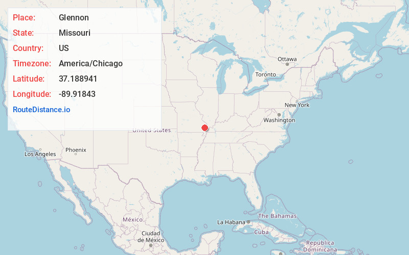
Location Information
-
Full AddressGlennon, Liberty Township, MO 63730
-
Coordinates37.1889412, -89.91843
-
LocationLiberty Township , Missouri , US
-
TimezoneAmerica/Chicago
-
Current Local Time2:57:22 AM America/ChicagoThursday, June 19, 2025
-
Page Views0
About Glennon
Glennon is an unincorporated community in the eastern part of Liberty Township in Bollinger County, Missouri, United States.
This Catholic community was established in 1928, and was named for Archbishop John J. Glennon, who served as the Roman Catholic Archbishop of St. Louis from 1903 until his death in 1946.
Nearby Places
Found 10 places within 50 miles

Drum
1.4 mi
2.3 km
Drum, Liberty Township, MO 63785
Get directions
Sank
5.4 mi
8.7 km
Sank, Liberty Township, MO 63730
Get directions
Advance
5.9 mi
9.5 km
Advance, MO 63730
Get directions
Whitewater
7.5 mi
12.1 km
Whitewater, MO 63785
Get directions
Brownwood
7.7 mi
12.4 km
Brownwood, MO 63730
Get directions

Marble Hill
8.6 mi
13.8 km
Marble Hill, MO 63764
Get directions
Allenville
9.1 mi
14.6 km
Allenville, MO
Get directions
Zalma
9.6 mi
15.4 km
Zalma, MO 63787
Get directions
Painton
10.0 mi
16.1 km
Painton, MO 63771
Get directions

Delta
10.0 mi
16.1 km
Delta, MO
Get directions
Location Links
Local Weather
Weather Information
Coming soon!
Location Map
Static map view of Glennon, Missouri
Browse Places by Distance
Places within specific distances from Glennon
Short Distances
Long Distances
Click any distance to see all places within that range from Glennon. Distances shown in miles (1 mile ≈ 1.61 kilometers).