Distance to Whitewater, Missouri

Calculating Your Route
Just a moment while we process your request...
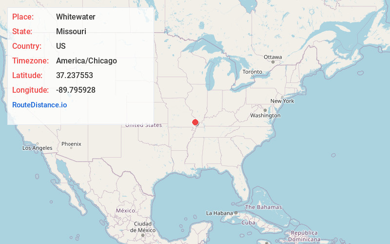
Location Information
-
Full AddressWhitewater, MO 63785
-
Coordinates37.2375527, -89.7959279
-
LocationWhitewater , Missouri , US
-
TimezoneAmerica/Chicago
-
Current Local Time2:12:12 PM America/ChicagoWednesday, June 18, 2025
-
Page Views0
About Whitewater
Whitewater is a village in Hubble Township in southwestern Cape Girardeau County, Missouri, United States. The population was 88 at the 2020 census. It is part of the Cape Girardeau–Jackson, MO-IL Metropolitan Statistical Area.
Nearby Places
Found 10 places within 50 miles

Allenville
2.4 mi
3.9 km
Allenville, MO
Get directions

Delta
4.3 mi
6.9 km
Delta, MO
Get directions
Gordonville
8.2 mi
13.2 km
Gordonville, MO
Get directions

Chaffee
8.7 mi
14.0 km
Chaffee, MO 63740
Get directions

Burfordville
9.0 mi
14.5 km
Burfordville, MO
Get directions
Perkins
9.9 mi
15.9 km
Perkins, MO 63771
Get directions

Marble Hill
10.7 mi
17.2 km
Marble Hill, MO 63764
Get directions
Advance
11.2 mi
18.0 km
Advance, MO 63730
Get directions

Jackson
12.3 mi
19.8 km
Jackson, MO 63755
Get directions

Oran
13.1 mi
21.1 km
Oran, MO 63771
Get directions
Location Links
Local Weather
Weather Information
Coming soon!
Location Map
Static map view of Whitewater, Missouri
Browse Places by Distance
Places within specific distances from Whitewater
Short Distances
Long Distances
Click any distance to see all places within that range from Whitewater. Distances shown in miles (1 mile ≈ 1.61 kilometers).