Distance to Drum, Missouri

Calculating Your Route
Just a moment while we process your request...
Location Information
-
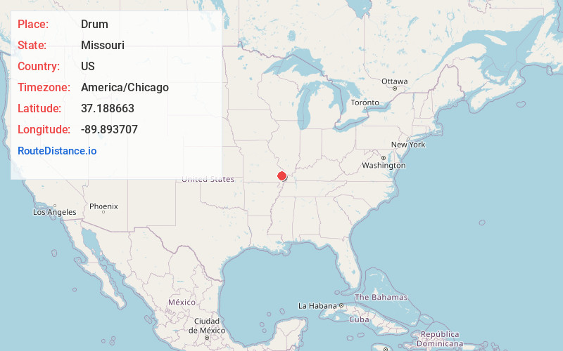
Full AddressDrum, Liberty Township, MO 63785
-
Coordinates37.1886634, -89.893707
-
LocationLiberty Township , Missouri , US
-
TimezoneAmerica/Chicago
-
Current Local Time1:11:19 AM America/ChicagoFriday, June 20, 2025
-
Page Views0
About Drum
Drum is an unincorporated community in the eastern part of Liberty Township in Bollinger County, Missouri, United States. The community was named for the Drum family, who were prominent pioneers. A post office operated between the years 1893–1916.
Nearby Places
Found 10 places within 50 miles

Advance
5.9 mi
9.5 km
Advance, MO 63730
Get directions
Whitewater
6.4 mi
10.3 km
Whitewater, MO 63785
Get directions
Allenville
7.8 mi
12.6 km
Allenville, MO
Get directions

Delta
8.7 mi
14.0 km
Delta, MO
Get directions

Marble Hill
9.1 mi
14.6 km
Marble Hill, MO 63764
Get directions
Perkins
9.2 mi
14.8 km
Perkins, MO 63771
Get directions
Zalma
10.9 mi
17.5 km
Zalma, MO 63787
Get directions
Glenallen
11.5 mi
18.5 km
Glenallen, MO 63751
Get directions
Bell City
12.1 mi
19.5 km
Bell City, MO
Get directions

Chaffee
13.1 mi
21.1 km
Chaffee, MO 63740
Get directions
Location Links
Local Weather
Weather Information
Coming soon!
Location Map
Static map view of Drum, Missouri
Browse Places by Distance
Places within specific distances from Drum
Short Distances
Long Distances
Click any distance to see all places within that range from Drum. Distances shown in miles (1 mile ≈ 1.61 kilometers).