Distance to Glenallen, Missouri

Calculating Your Route
Just a moment while we process your request...
Location Information
-
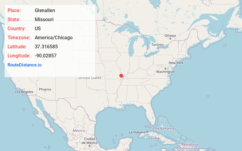
Full AddressGlenallen, MO 63751
-
Coordinates37.3165854, -90.02857
-
LocationGlenallen , Missouri , US
-
TimezoneAmerica/Chicago
-
Current Local Time2:32:55 PM America/ChicagoFriday, June 20, 2025
-
Page Views0
About Glenallen
Glen Allen is a village in central Bollinger County in Southeast Missouri, United States, located near the intersection of State Highway 34 and Route ZZ just west of Marble Hill. The population was 57 at the 2020 census.
It is part of the Cape Girardeau–Jackson, MO-IL Metropolitan Statistical Area.
Nearby Places
Found 10 places within 50 miles

Marble Hill
3.3 mi
5.3 km
Marble Hill, MO 63764
Get directions

Marquand
10.9 mi
17.5 km
Marquand, MO 63655
Get directions

Zalma
12.3 mi
19.8 km
Zalma, MO 63787
Get directions

Burfordville
12.7 mi
20.4 km
Burfordville, MO
Get directions
Whitewater
13.9 mi
22.4 km
Whitewater, MO 63785
Get directions

Millersville
14.9 mi
24.0 km
Millersville, MO
Get directions
Sedgewickville
15.3 mi
24.6 km
Sedgewickville, MO 63743
Get directions
Advance
16.0 mi
25.7 km
Advance, MO 63730
Get directions
Allenville
16.3 mi
26.2 km
Allenville, MO
Get directions

Delta
18.1 mi
29.1 km
Delta, MO
Get directions
Location Links
Local Weather
Weather Information
Coming soon!
Location Map
Static map view of Glenallen, Missouri
Browse Places by Distance
Places within specific distances from Glenallen
Short Distances
Long Distances
Click any distance to see all places within that range from Glenallen. Distances shown in miles (1 mile ≈ 1.61 kilometers).