Distance to Glentana, Montana

Calculating Your Route
Just a moment while we process your request...
Location Information
-
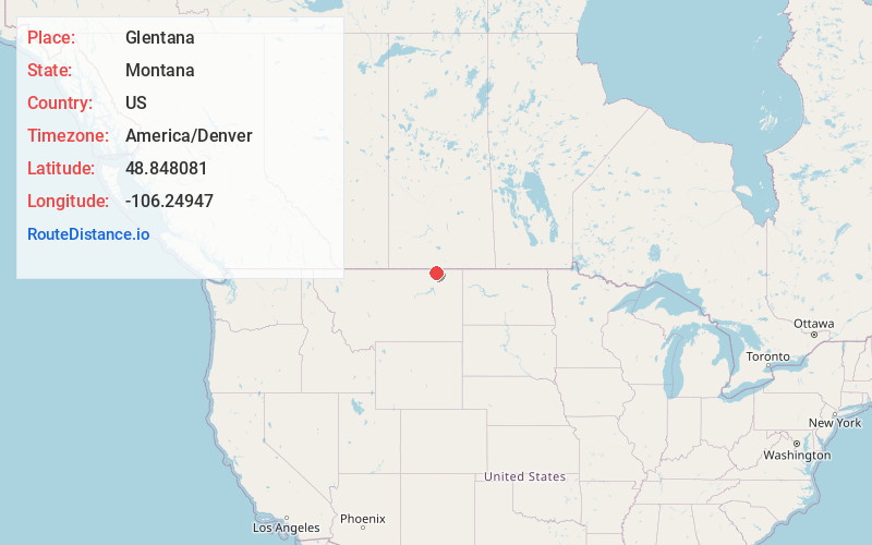
Full AddressGlentana, MT 59240
-
Coordinates48.848081, -106.2494699
-
LocationGlentana , Montana , US
-
TimezoneAmerica/Denver
-
Current Local Time9:33:06 PM America/DenverThursday, June 19, 2025
-
Page Views0
About Glentana
Glentana is an unincorporated village in Valley County, Montana, United States. Glentana is 7.2 miles east of Opheim. The community had a post office until September 4, 2010; it still has its own ZIP code, 59240.
The Glentana post office opened in 1913 with William J. O’Connor as postmaster.

Nearby Places
Found 10 places within 50 miles

Opheim
7.2 mi
11.6 km
Opheim, MT
Get directions

Roanwood
13.0 mi
20.9 km
Roanwood, MT 59250
Get directions
Baylor
16.5 mi
26.6 km
Baylor, MT 59230
Get directions
Butte Creek
18.4 mi
29.6 km
Butte Creek, MT 59260
Get directions
Larslan
18.8 mi
30.3 km
Larslan, MT 59244
Get directions
West Fork
19.0 mi
30.6 km
West Fork, MT 59253
Get directions
Carbert
21.8 mi
35.1 km
Carbert, MT 59253
Get directions

Four Buttes
29.4 mi
47.3 km
Four Buttes, MT 59263
Get directions
Thoeny
30.4 mi
48.9 km
Thoeny, MT 59241
Get directions
St Marie
33.4 mi
53.8 km
St Marie, MT
Get directions
Location Links
Local Weather
Weather Information
Coming soon!
Location Map
Static map view of Glentana, Montana
Browse Places by Distance
Places within specific distances from Glentana
Short Distances
Long Distances
Click any distance to see all places within that range from Glentana. Distances shown in miles (1 mile ≈ 1.61 kilometers).