Distance to Glenville, Minnesota

Calculating Your Route
Just a moment while we process your request...
Location Information
-
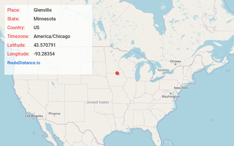
Full AddressGlenville, MN 56036
-
Coordinates43.5707905, -93.2835397
-
LocationGlenville , Minnesota , US
-
TimezoneAmerica/Chicago
-
Current Local Time8:24:56 AM America/ChicagoMonday, June 16, 2025
-
Page Views0
About Glenville
Glenville is a city in Freeborn County, Minnesota, United States, near Albert Lea. It is along the Shell Rock River. The population was 643 at the 2010 census.
Nearby Places
Found 10 places within 50 miles

Albert Lea
6.8 mi
10.9 km
Albert Lea, MN 56007
Get directions

Northwood
9.3 mi
15.0 km
Northwood, IA 50459
Get directions

Clarks Grove
13.5 mi
21.7 km
Clarks Grove, MN 56016
Get directions

Alden
16.2 mi
26.1 km
Alden, MN 56009
Get directions

Lake Mills
16.3 mi
26.2 km
Lake Mills, IA 50450
Get directions

Austin
16.8 mi
27.0 km
Austin, MN 55912
Get directions

Manly
19.8 mi
31.9 km
Manly, IA 50456
Get directions
Ellendale
20.9 mi
33.6 km
Ellendale, MN 56026
Get directions

Kiester
21.6 mi
34.8 km
Kiester, MN 56051
Get directions
St Ansgar
22.5 mi
36.2 km
St Ansgar, IA 50472
Get directions
Location Links
Local Weather
Weather Information
Coming soon!
Location Map
Static map view of Glenville, Minnesota
Browse Places by Distance
Places within specific distances from Glenville
Short Distances
Long Distances
Click any distance to see all places within that range from Glenville. Distances shown in miles (1 mile ≈ 1.61 kilometers).