Distance to Godahl, Minnesota

Calculating Your Route
Just a moment while we process your request...
Location Information
-
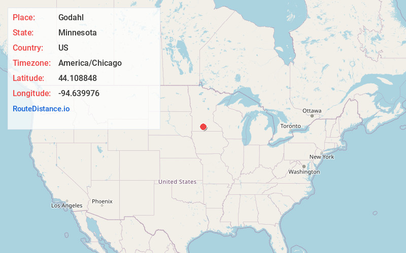
Full AddressGodahl, Nelson Township, MN 56081
-
Coordinates44.1088481, -94.6399761
-
LocationNelson Township , Minnesota , US
-
TimezoneAmerica/Chicago
-
Current Local Time4:10:15 AM America/ChicagoTuesday, July 1, 2025
-
Page Views0
About Godahl
Godahl is an unincorporated community in Brown and Watonwan counties in the U.S. state of Minnesota.

Nearby Places
Found 10 places within 50 miles

La Salle
4.4 mi
7.1 km
La Salle, MN 56056
Get directions

Hanska
7.7 mi
12.4 km
Hanska, MN 56041
Get directions

St James
8.8 mi
14.2 km
St James, MN 56081
Get directions
Iberia
9.4 mi
15.1 km
Iberia, Stark Township, MN 56085
Get directions

Darfur
10.6 mi
17.1 km
Darfur, MN 56120
Get directions
Leavenworth
11.2 mi
18.0 km
Leavenworth, MN 56085
Get directions

Madelia
11.7 mi
18.8 km
Madelia, MN 56062
Get directions

Butterfield
12.9 mi
20.8 km
Butterfield, MN 56120
Get directions

Searles
13.1 mi
21.1 km
Searles, MN 56073
Get directions

Comfrey
13.1 mi
21.1 km
Comfrey, MN 56019
Get directions
Location Links
Local Weather
Weather Information
Coming soon!
Location Map
Static map view of Godahl, Minnesota
Browse Places by Distance
Places within specific distances from Godahl
Short Distances
Long Distances
Click any distance to see all places within that range from Godahl. Distances shown in miles (1 mile ≈ 1.61 kilometers).