Distance to Leavenworth, Minnesota

Calculating Your Route
Just a moment while we process your request...
Location Information
-
Full AddressLeavenworth, MN 56085
-
Coordinates44.2224598, -94.801929
-
LocationLeavenworth , Minnesota , US
-
TimezoneAmerica/Chicago
-
Current Local Time12:01:29 AM America/ChicagoWednesday, June 4, 2025
-
Page Views0
About Leavenworth
Leavenworth is an unincorporated community located in Leavenworth Township in Brown County, Minnesota, United States. The elevation is 1,004 feet. It was situated on two locations in Brown County, one before the Dakota War of 1862, and in section 27 of the township along the Cottonwood River after the war.
Nearby Places
Found 10 places within 50 miles

Cobden
5.0 mi
8.0 km
Cobden, MN 56085
Get directions
Iberia
5.4 mi
8.7 km
Iberia, Stark Township, MN 56085
Get directions

Sleepy Eye
6.4 mi
10.3 km
Sleepy Eye, MN 56085
Get directions

Springfield
8.6 mi
13.8 km
Springfield, MN 56087
Get directions

Comfrey
9.3 mi
15.0 km
Comfrey, MN 56019
Get directions
Evan
9.3 mi
15.0 km
Evan, MN
Get directions

Darfur
12.0 mi
19.3 km
Darfur, MN 56120
Get directions

Essig
12.0 mi
19.3 km
Essig, MN
Get directions

Morgan
14.8 mi
23.8 km
Morgan, MN 56266
Get directions
La Salle
15.6 mi
25.1 km
La Salle, MN 56056
Get directions
Location Links
Local Weather
Weather Information
Coming soon!
Location Map
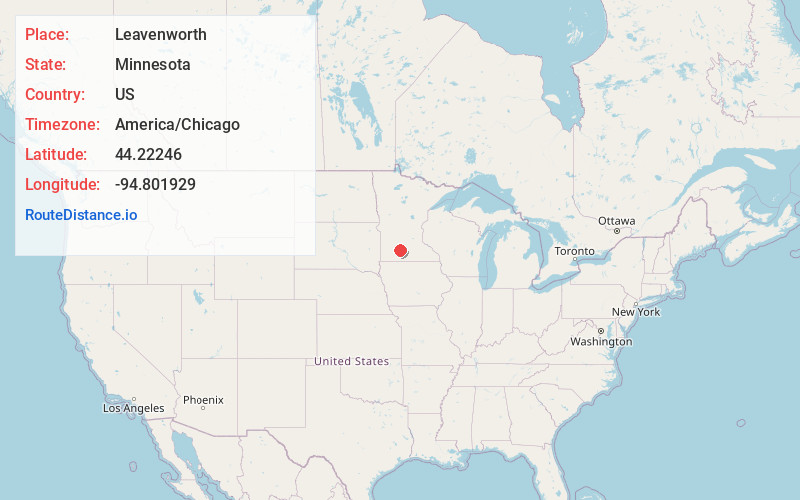
Static map view of Leavenworth, Minnesota
Browse Places by Distance
Places within specific distances from Leavenworth
Short Distances
Long Distances
Click any distance to see all places within that range from Leavenworth. Distances shown in miles (1 mile ≈ 1.61 kilometers).