Distance to Godfrey, Kansas

Calculating Your Route
Just a moment while we process your request...
Location Information
-
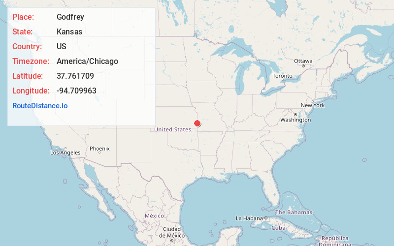
Full AddressGodfrey, Scott Township, KS 66701
-
Coordinates37.7617094, -94.7099626
-
LocationScott Township , Kansas , US
-
TimezoneAmerica/Chicago
-
Current Local Time3:31:27 AM America/ChicagoThursday, May 29, 2025
-
Page Views0
About Godfrey
Godfrey is an unincorporated community in Bourbon County, Kansas, United States.
Nearby Places
Found 10 places within 50 miles

Fort Scott
5.4 mi
8.7 km
Fort Scott, KS 66701
Get directions

Pawnee Station
6.2 mi
10.0 km
Pawnee Station, Pawnee Township, KS 66701
Get directions

Arcadia
9.5 mi
15.3 km
Arcadia, KS 66711
Get directions

Redfield
10.7 mi
17.2 km
Redfield, KS 66769
Get directions

Farlington
11.8 mi
19.0 km
Farlington, KS 66734
Get directions

Deerfield
12.3 mi
19.8 km
Deerfield, MO 64741
Get directions
Devon
12.6 mi
20.3 km
Devon, KS 66701
Get directions
Richards
13.1 mi
21.1 km
Richards, MO 64778
Get directions

Bronaugh
14.0 mi
22.5 km
Bronaugh, MO 64728
Get directions

Moundville
14.1 mi
22.7 km
Moundville, MO 64771
Get directions
Location Links
Local Weather
Weather Information
Coming soon!
Location Map
Static map view of Godfrey, Kansas
Browse Places by Distance
Places within specific distances from Godfrey
Short Distances
Long Distances
Click any distance to see all places within that range from Godfrey. Distances shown in miles (1 mile ≈ 1.61 kilometers).