Distance to Bronaugh, Missouri

Calculating Your Route
Just a moment while we process your request...
Location Information
-
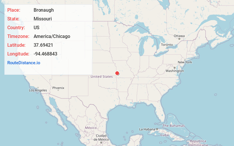
Full AddressBronaugh, MO 64728
-
Coordinates37.69421, -94.4688426
-
LocationBronaugh , Missouri , US
-
TimezoneAmerica/Chicago
-
Current Local Time11:13:00 AM America/ChicagoFriday, June 20, 2025
-
Page Views0
About Bronaugh
Bronaugh is a city in southwest Vernon County, Missouri, United States. The population was 249 at the 2010 census.

Nearby Places
Found 10 places within 50 miles

Arcadia
9.2 mi
14.8 km
Arcadia, KS 66711
Get directions

Liberal
9.8 mi
15.8 km
Liberal, MO 64762
Get directions

Sheldon
9.9 mi
15.9 km
Sheldon, MO 64784
Get directions

Nevada
11.8 mi
19.0 km
Nevada, MO 64772
Get directions
Mulberry
12.7 mi
20.4 km
Mulberry, KS 66756
Get directions
Richards
15.5 mi
24.9 km
Richards, MO 64778
Get directions

Arma
16.4 mi
26.4 km
Arma, KS 66712
Get directions

Fort Scott
16.5 mi
26.6 km
Fort Scott, KS 66701
Get directions
Lamar Heights
16.7 mi
26.9 km
Lamar Heights, MO 64759
Get directions

Mindenmines
16.8 mi
27.0 km
Mindenmines, MO 64769
Get directions
Location Links
Local Weather
Weather Information
Coming soon!
Location Map
Static map view of Bronaugh, Missouri
Browse Places by Distance
Places within specific distances from Bronaugh
Short Distances
Long Distances
Click any distance to see all places within that range from Bronaugh. Distances shown in miles (1 mile ≈ 1.61 kilometers).