Distance to Liberal, Missouri

Calculating Your Route
Just a moment while we process your request...
Location Information
-
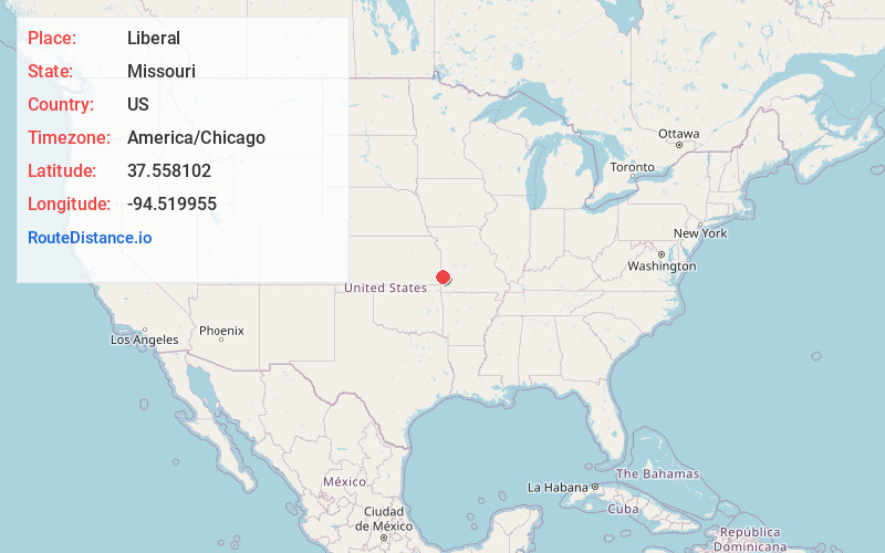
Full AddressLiberal, MO 64762
-
Coordinates37.5581024, -94.5199553
-
LocationLiberal , Missouri , US
-
TimezoneAmerica/Chicago
-
Current Local Time8:42:07 PM America/ChicagoFriday, May 30, 2025
-
Page Views0
About Liberal
Liberal is a city in Barton County, Missouri, United States. The population was 629 at the 2020 census.
Liberal was founded as an atheist utopia in 1880 by lawyer George Walser, who named it after the Liberal League in nearby Lamar.

Nearby Places
Found 10 places within 50 miles

Arma
9.9 mi
15.9 km
Arma, KS 66712
Get directions

Frontenac
11.7 mi
18.8 km
Frontenac, KS
Get directions

Lamar
14.0 mi
22.5 km
Lamar, MO 64759
Get directions

Pittsburg
14.4 mi
23.2 km
Pittsburg, KS 66762
Get directions

Girard
17.7 mi
28.5 km
Girard, KS 66743
Get directions

Jasper
19.5 mi
31.4 km
Jasper, MO 64755
Get directions

Nevada
21.4 mi
34.4 km
Nevada, MO 64772
Get directions

Fort Scott
22.0 mi
35.4 km
Fort Scott, KS 66701
Get directions

Oronogo
25.7 mi
41.4 km
Oronogo, MO
Get directions

Carl Junction
26.5 mi
42.6 km
Carl Junction, MO
Get directions
Location Links
Local Weather
Weather Information
Coming soon!
Location Map
Static map view of Liberal, Missouri
Browse Places by Distance
Places within specific distances from Liberal
Short Distances
Long Distances
Click any distance to see all places within that range from Liberal. Distances shown in miles (1 mile ≈ 1.61 kilometers).