Distance to Lamar Heights, Missouri

Calculating Your Route
Just a moment while we process your request...
Location Information
-
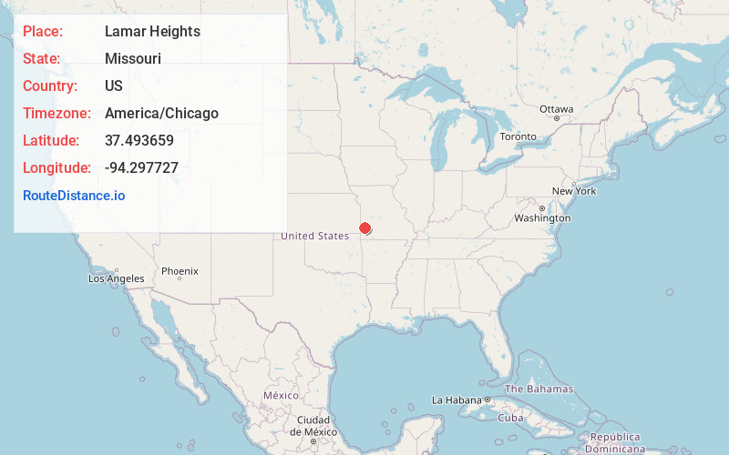
Full AddressLamar Heights, MO 64759
-
Coordinates37.493659, -94.2977265
-
LocationLamar Heights , Missouri , US
-
TimezoneAmerica/Chicago
-
Current Local Time10:34:19 AM America/ChicagoSaturday, June 14, 2025
-
Page Views0
About Lamar Heights
Lamar Heights is a city in Barton County, Missouri, United States. The population was 170 at the 2020 census.
Nearby Places
Found 10 places within 50 miles

Lamar
1.2 mi
1.9 km
Lamar, MO 64759
Get directions

Jasper
10.9 mi
17.5 km
Jasper, MO 64755
Get directions
Sheldon
11.4 mi
18.3 km
Sheldon, MO 64784
Get directions

Liberal
13.0 mi
20.9 km
Liberal, MO 64762
Get directions

Golden City
13.2 mi
21.2 km
Golden City, MO 64748
Get directions
Carytown
15.7 mi
25.3 km
Carytown, MO 64836
Get directions

Mindenmines
16.1 mi
25.9 km
Mindenmines, MO 64769
Get directions

Jerico Springs
18.2 mi
29.3 km
Jerico Springs, MO 64756
Get directions
Neck City
18.2 mi
29.3 km
Neck City, MO
Get directions
Mulberry
18.3 mi
29.5 km
Mulberry, KS 66756
Get directions
Location Links
Local Weather
Weather Information
Coming soon!
Location Map
Static map view of Lamar Heights, Missouri
Browse Places by Distance
Places within specific distances from Lamar Heights
Short Distances
Long Distances
Click any distance to see all places within that range from Lamar Heights. Distances shown in miles (1 mile ≈ 1.61 kilometers).