Distance to Golightly, South Carolina

Calculating Your Route
Just a moment while we process your request...
Location Information
-
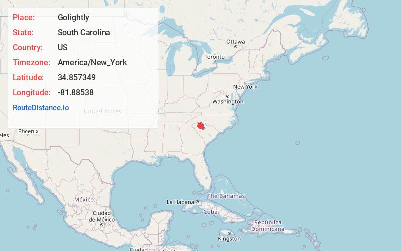
Full AddressGolightly, SC 29302
-
Coordinates34.857349, -81.8853795
-
LocationSouth Carolina , US
-
TimezoneAmerica/New_York
-
Current Local Time9:15:33 PM America/New_YorkSunday, June 22, 2025
-
Page Views0
Nearby Places
Found 10 places within 50 miles

Pauline
1.8 mi
2.9 km
Pauline, SC
Get directions

Stone Station
2.4 mi
3.9 km
Stone Station, SC 29376
Get directions

Glenn Springs
4.0 mi
6.4 km
Glenn Springs, SC
Get directions

Camp Croft
4.1 mi
6.6 km
Camp Croft, SC 29302
Get directions
Walnut Grove
4.6 mi
7.4 km
Walnut Grove, SC 29376
Get directions

Roebuck
4.8 mi
7.7 km
Roebuck, SC
Get directions
Ben Avon
5.5 mi
8.9 km
Ben Avon, SC 29302
Get directions
Calico
6.2 mi
10.0 km
Calico, SC 29302
Get directions

Moore
6.3 mi
10.1 km
Moore, SC
Get directions
Glendale
6.6 mi
10.6 km
Glendale, SC
Get directions
Location Links
Local Weather
Weather Information
Coming soon!
Location Map
Static map view of Golightly, South Carolina
Browse Places by Distance
Places within specific distances from Golightly
Short Distances
Long Distances
Click any distance to see all places within that range from Golightly. Distances shown in miles (1 mile ≈ 1.61 kilometers).