Distance to Pauline, South Carolina

Calculating Your Route
Just a moment while we process your request...
Location Information
-
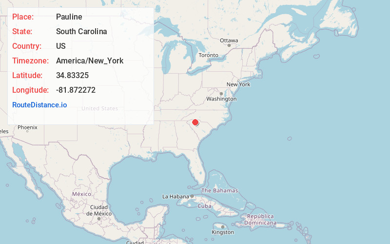
Full AddressPauline, SC
-
Coordinates34.83325, -81.8722723
-
LocationPauline , South Carolina , US
-
TimezoneAmerica/New_York
-
Current Local Time11:14:30 AM America/New_YorkSunday, June 29, 2025
-
Page Views0
About Pauline
Pauline is an unincorporated community and census-designated place in Spartanburg County, South Carolina, United States. It was first listed as a CDP in the 2020 census with a population of 209.
Until the 1890s, Pauline was known as Stribling.

Nearby Places
Found 10 places within 50 miles

Camp Croft
5.5 mi
8.9 km
Camp Croft, SC 29302
Get directions

Roebuck
6.2 mi
10.0 km
Roebuck, SC
Get directions

Ben Avon
7.1 mi
11.4 km
Ben Avon, SC 29302
Get directions

Pacolet
7.7 mi
12.4 km
Pacolet, SC
Get directions
Glendale
8.0 mi
12.9 km
Glendale, SC
Get directions

Spartanburg
8.9 mi
14.3 km
Spartanburg, SC
Get directions
Drayton
9.5 mi
15.3 km
Drayton, SC
Get directions
Saxon
10.2 mi
16.4 km
Saxon, SC
Get directions
Whitney Heights
10.4 mi
16.7 km
Whitney Heights, SC 29303
Get directions
Clifton
10.6 mi
17.1 km
Clifton, SC
Get directions
Location Links
Local Weather
Weather Information
Coming soon!
Location Map
Static map view of Pauline, South Carolina
Browse Places by Distance
Places within specific distances from Pauline
Short Distances
Long Distances
Click any distance to see all places within that range from Pauline. Distances shown in miles (1 mile ≈ 1.61 kilometers).