Distance to Goose Pond, North Carolina

Calculating Your Route
Just a moment while we process your request...
Location Information
-
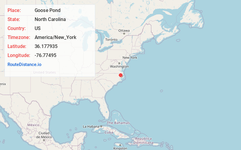
Full AddressGoose Pond, NC 27924
-
Coordinates36.1779351, -76.7749503
-
LocationNorth Carolina , US
-
TimezoneAmerica/New_York
-
Current Local Time1:16:37 PM America/New_YorkTuesday, June 17, 2025
-
Page Views0
Nearby Places
Found 10 places within 50 miles

Colerain
1.7 mi
2.7 km
Colerain, NC 27924
Get directions

Perrytown
3.2 mi
5.1 km
Perrytown, NC 27924
Get directions
Wakelon
4.0 mi
6.4 km
Wakelon, NC 27924
Get directions
Mt Gould Landing
4.2 mi
6.8 km
Mt Gould Landing, NC 27957
Get directions

Chowan Beach
4.2 mi
6.8 km
Chowan Beach, NC 27932
Get directions
Rosemead
5.1 mi
8.2 km
Rosemead, NC 27924
Get directions
Rockyhock Creek
6.7 mi
10.8 km
Rockyhock Creek, North Carolina 27932
Get directions
Mill Crossroads
6.7 mi
10.8 km
Mill Crossroads, NC 27932
Get directions
Buzzards Crossroads
6.8 mi
10.9 km
Buzzards Crossroads, NC 27924
Get directions
Valhalla
7.1 mi
11.4 km
Valhalla, NC 27932
Get directions
Location Links
Local Weather
Weather Information
Coming soon!
Location Map
Static map view of Goose Pond, North Carolina
Browse Places by Distance
Places within specific distances from Goose Pond
Short Distances
Long Distances
Click any distance to see all places within that range from Goose Pond. Distances shown in miles (1 mile ≈ 1.61 kilometers).