Distance to Gorda, California

Calculating Your Route
Just a moment while we process your request...
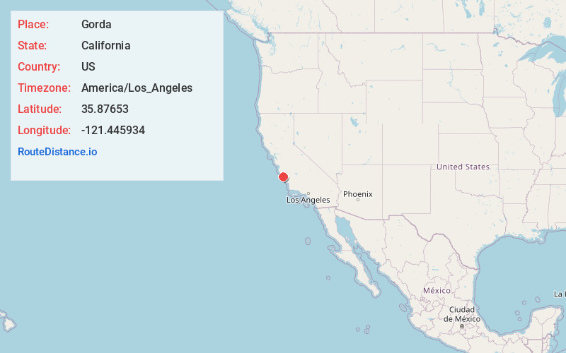
Location Information
-
Full AddressGorda, CA 93920
-
Coordinates35.8765304, -121.4459342
-
LocationGorda , California , US
-
TimezoneAmerica/Los_Angeles
-
Current Local Time4:30:22 PM America/Los_AngelesThursday, May 29, 2025
-
Page Views0
About Gorda
Gorda is a hamlet in Monterey County, California. It is located 3 mi south of Cape San Martin, at an elevation of 148 ft. It is one of the three small settlements of filling stations, restaurants, and motels located along State Route 1 on the Big Sur coast.


Nearby Places
Found 10 places within 50 miles

Lockwood
20.9 mi
33.6 km
Lockwood, CA
Get directions

San Simeon
21.6 mi
34.8 km
San Simeon, CA 93452
Get directions

Tassajara Hot Springs
25.5 mi
41.0 km
Tassajara Hot Springs, CA 93927
Get directions

Sycamore Flat
27.0 mi
43.5 km
Sycamore Flat, CA 93927
Get directions
Oak Shores
27.0 mi
43.5 km
Oak Shores, CA
Get directions

Moonstone Beach
28.0 mi
45.1 km
Moonstone Beach, California 93428
Get directions

King City
29.3 mi
47.2 km
King City, CA
Get directions

San Lucas
29.5 mi
47.5 km
San Lucas, CA 93954
Get directions

Cambria
29.8 mi
48.0 km
Cambria, CA
Get directions

San Ardo
31.8 mi
51.2 km
San Ardo, CA 93450
Get directions
Location Links
Local Weather
Weather Information
Coming soon!
Location Map
Static map view of Gorda, California
Browse Places by Distance
Places within specific distances from Gorda
Short Distances
Long Distances
Click any distance to see all places within that range from Gorda. Distances shown in miles (1 mile ≈ 1.61 kilometers).