Distance to San Simeon, California

Calculating Your Route
Just a moment while we process your request...
Location Information
-
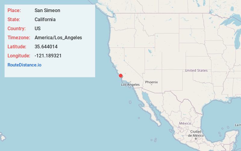
Full AddressSan Simeon, CA 93452
-
Coordinates35.6440143, -121.1893211
-
LocationSan Simeon , California , US
-
TimezoneAmerica/Los_Angeles
-
Current Local Time2:15:32 AM America/Los_AngelesTuesday, June 3, 2025
-
Page Views0
About San Simeon
San Simeon is an unincorporated community on the Pacific coast of San Luis Obispo County, California, United States. Its position along State Route 1 is about halfway between Los Angeles and San Francisco, each of those cities being roughly 230 miles away.


Nearby Places
Found 10 places within 50 miles

Cambria
8.2 mi
13.2 km
Cambria, CA
Get directions

Lake Nacimiento
18.3 mi
29.5 km
Lake Nacimiento, CA 93446
Get directions

Lockwood
21.6 mi
34.8 km
Lockwood, CA
Get directions

Cayucos
21.7 mi
34.9 km
Cayucos, CA 93430
Get directions

Morro Bay
27.1 mi
43.6 km
Morro Bay, CA
Get directions

Templeton
27.9 mi
44.9 km
Templeton, CA
Get directions

San Miguel
28.7 mi
46.2 km
San Miguel, CA 93451
Get directions

Baywood Park Beach
29.1 mi
46.8 km
Baywood Park Beach, Baywood-Los Osos, CA 93402
Get directions

Paso Robles
30.0 mi
48.3 km
Paso Robles, CA 93446
Get directions

San Ardo
30.5 mi
49.1 km
San Ardo, CA 93450
Get directions
Location Links
Local Weather
Weather Information
Coming soon!
Location Map
Static map view of San Simeon, California
Browse Places by Distance
Places within specific distances from San Simeon
Short Distances
Long Distances
Click any distance to see all places within that range from San Simeon. Distances shown in miles (1 mile ≈ 1.61 kilometers).