Distance to Lockwood, California

Calculating Your Route
Just a moment while we process your request...
Location Information
-
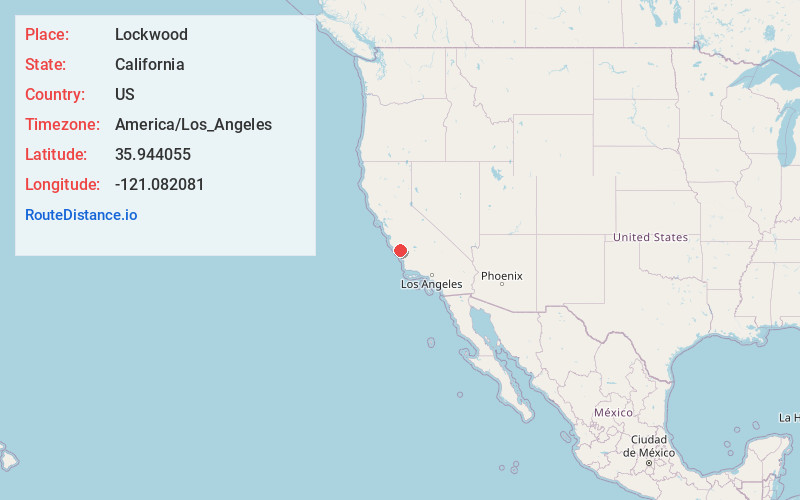
Full AddressLockwood, CA
-
Coordinates35.9440546, -121.082081
-
LocationLockwood , California , US
-
TimezoneAmerica/Los_Angeles
-
Current Local Time5:22:11 PM America/Los_AngelesSunday, June 1, 2025
-
Page Views0
About Lockwood
Lockwood is an unincorporated community and census-designated place in Monterey County, California, United States. As of the 2020 census it had a population of 368.
It is a small community consisting of farms, ranches, and vineyards, in a broad valley encompassed by the coastal mountains.


Nearby Places
Found 10 places within 50 miles

San Ardo
11.2 mi
18.0 km
San Ardo, CA 93450
Get directions

King City
18.7 mi
30.1 km
King City, CA
Get directions

Lake Nacimiento
18.7 mi
30.1 km
Lake Nacimiento, CA 93446
Get directions

San Miguel
25.3 mi
40.7 km
San Miguel, CA 93451
Get directions

Cambria
26.3 mi
42.3 km
Cambria, CA
Get directions

Greenfield
27.6 mi
44.4 km
Greenfield, CA
Get directions

Paso Robles
32.0 mi
51.5 km
Paso Robles, CA 93446
Get directions

Templeton
34.5 mi
55.5 km
Templeton, CA
Get directions

Soledad
35.9 mi
57.8 km
Soledad, CA 93960
Get directions

Cayucos
36.2 mi
58.3 km
Cayucos, CA 93430
Get directions
Location Links
Local Weather
Weather Information
Coming soon!
Location Map
Static map view of Lockwood, California
Browse Places by Distance
Places within specific distances from Lockwood
Short Distances
Long Distances
Click any distance to see all places within that range from Lockwood. Distances shown in miles (1 mile ≈ 1.61 kilometers).