Distance to Grand Rapids, Ohio

Calculating Your Route
Just a moment while we process your request...
Location Information
-
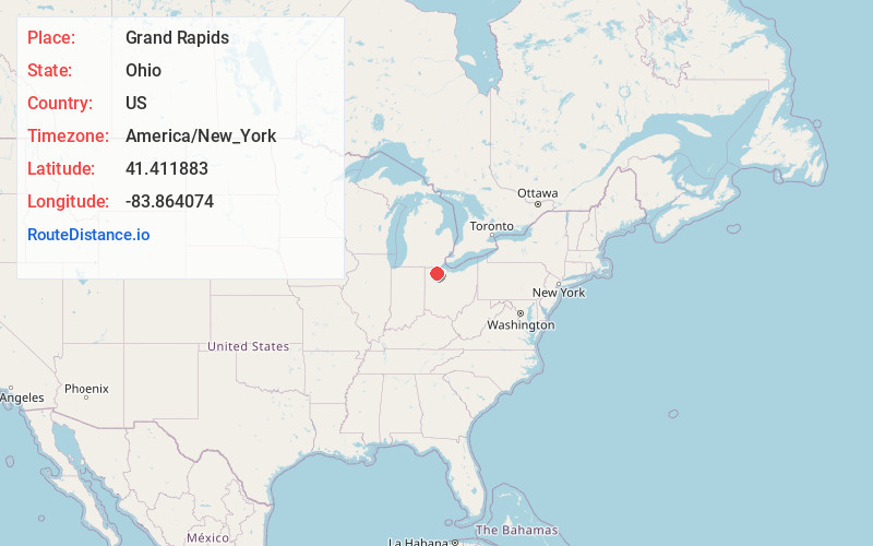
Full AddressGrand Rapids, OH 43522
-
Coordinates41.4118834, -83.8640741
-
LocationGrand Rapids , Ohio , US
-
TimezoneAmerica/New_York
-
Current Local Time12:29:39 PM America/New_YorkWednesday, June 25, 2025
-
Page Views0
About Grand Rapids
Grand Rapids is a village in Grand Rapids Township, Wood County, Ohio, United States, along the Maumee River. The population was 925 at the 2020 census. Grand Rapids is served by a branch of the Weston Public Library.


Nearby Places
Found 10 places within 50 miles

Weston
5.8 mi
9.3 km
Weston, OH 43569
Get directions

Whitehouse
8.0 mi
12.9 km
Whitehouse, OH
Get directions

Haskins
9.0 mi
14.5 km
Haskins, OH
Get directions

Waterville
9.7 mi
15.6 km
Waterville, OH 43566
Get directions

Bowling Green
11.3 mi
18.2 km
Bowling Green, OH
Get directions

Swanton
12.3 mi
19.8 km
Swanton, OH 43558
Get directions

Delta
13.4 mi
21.6 km
Delta, OH 43515
Get directions

Napoleon
13.6 mi
21.9 km
Napoleon, OH 43545
Get directions

Deshler
14.2 mi
22.9 km
Deshler, OH 43516
Get directions

Maumee
15.1 mi
24.3 km
Maumee, OH
Get directions
Location Links
Local Weather
Weather Information
Coming soon!
Location Map
Static map view of Grand Rapids, Ohio
Browse Places by Distance
Places within specific distances from Grand Rapids
Short Distances
Long Distances
Click any distance to see all places within that range from Grand Rapids. Distances shown in miles (1 mile ≈ 1.61 kilometers).