Distance to Grand Rapids Twp, Michigan

Calculating Your Route
Just a moment while we process your request...
Location Information
-
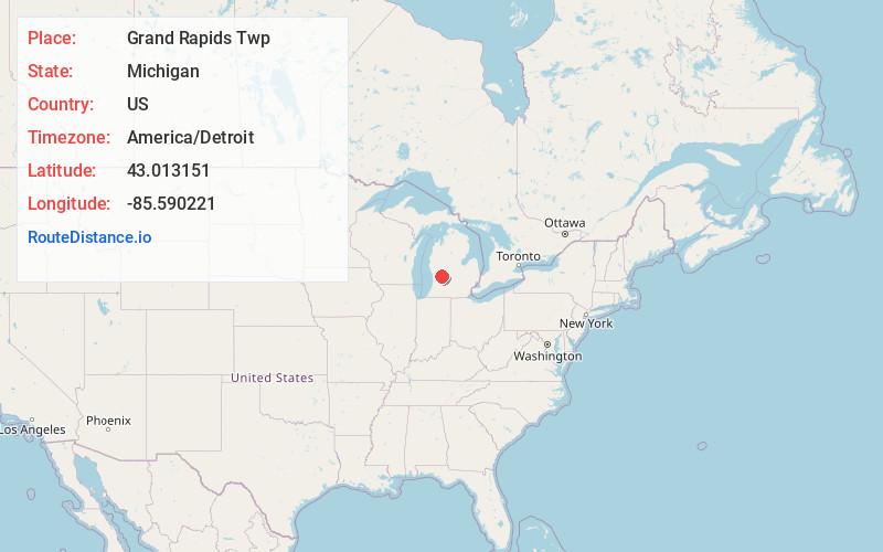
Full AddressGrand Rapids Twp, MI
-
Coordinates43.0131514, -85.5902209
-
LocationGrand Rapids Twp , Michigan , US
-
TimezoneAmerica/Detroit
-
Current Local Time3:47:42 PM America/DetroitTuesday, June 24, 2025
-
Page Views0
About Grand Rapids Twp
Grand Rapids Charter Township is a charter township of Kent County in the U.S. state of Michigan. The population was 18,905 at the 2020 census.
The township is bordered by Grand Rapids to the west and East Grand Rapids to the southwest, but the township is administered autonomously.
Nearby Places
Found 10 places within 50 miles

Northview
2.2 mi
3.5 km
Northview, MI 49525
Get directions
Chauncey
3.3 mi
5.3 km
Chauncey, Cannon Township, MI 49306
Get directions

Plainfield Township
3.7 mi
6.0 km
Plainfield Township, MI
Get directions

Comstock Park
4.4 mi
7.1 km
Comstock Park, MI
Get directions

Grand Rapids
5.1 mi
8.2 km
Grand Rapids, MI
Get directions

Cannon Township
5.9 mi
9.5 km
Cannon Township, MI
Get directions

Ada Township
6.6 mi
10.6 km
Ada Township, MI
Get directions

Cannonsburg
6.7 mi
10.8 km
Cannonsburg, MI
Get directions

Forest Hills
7.0 mi
11.3 km
Forest Hills, MI
Get directions

Alpine Township
7.3 mi
11.7 km
Alpine Township, MI
Get directions
Location Links
Local Weather
Weather Information
Coming soon!
Location Map
Static map view of Grand Rapids Twp, Michigan
Browse Places by Distance
Places within specific distances from Grand Rapids Twp
Short Distances
Long Distances
Click any distance to see all places within that range from Grand Rapids Twp. Distances shown in miles (1 mile ≈ 1.61 kilometers).