Distance to Greenhead, Florida

Calculating Your Route
Just a moment while we process your request...
Location Information
-
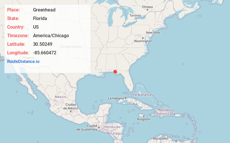
Full AddressGreenhead, FL 32428
-
Coordinates30.5024896, -85.6604721
-
LocationGreenhead , Florida , US
-
TimezoneAmerica/Chicago
-
Current Local Time10:06:31 PM America/ChicagoWednesday, July 2, 2025
-
Page Views0
About Greenhead
Greenhead is an unincorporated community in Washington County, Florida, United States. It is located along State Road 77 north of Sand Hills.
Greenhead is the location of the deed-restricted Grassy Pond Community, surrounding Grassy Pond and is governed by a homeowners' association.
Nearby Places
Found 10 places within 50 miles

Smyrna
6.8 mi
10.9 km
Smyrna, FL 32462
Get directions
Holmes Valley
7.1 mi
11.4 km
Holmes Valley, FL 32462
Get directions
Sylvania
7.9 mi
12.7 km
Sylvania, FL 32462
Get directions
Fanning Branch
8.5 mi
13.7 km
Fanning Branch, Florida 32462
Get directions

Vernon
8.9 mi
14.3 km
Vernon, FL 32462
Get directions
Econfina
9.7 mi
15.6 km
Econfina, FL 32466
Get directions
Wausau
9.9 mi
15.9 km
Wausau, FL
Get directions
New Hope
10.3 mi
16.6 km
New Hope, FL 32462
Get directions
Bennett
10.8 mi
17.4 km
Bennett, FL 32466
Get directions
Red Head
10.9 mi
17.5 km
Red Head, FL 32462
Get directions
Location Links
Local Weather
Weather Information
Coming soon!
Location Map
Static map view of Greenhead, Florida
Browse Places by Distance
Places within specific distances from Greenhead
Short Distances
Long Distances
Click any distance to see all places within that range from Greenhead. Distances shown in miles (1 mile ≈ 1.61 kilometers).