Distance to Grover, Colorado

Calculating Your Route
Just a moment while we process your request...
Location Information
-
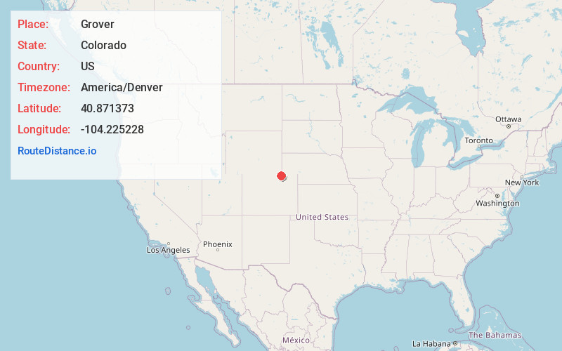
Full AddressGrover, CO 80729
-
Coordinates40.8713729, -104.2252275
-
LocationGrover , Colorado , US
-
TimezoneAmerica/Denver
-
Current Local Time8:51:06 PM America/DenverWednesday, June 18, 2025
-
Page Views0
About Grover
The Town of Grover is a Statutory Town located in Weld County, Colorado, United States. The town population was 157 at the 2020 United States census, a 14.60% increase since the 2010 United States Census. Grover is a part of the Greeley, CO Metropolitan Statistical Area and the Front Range Urban Corridor.


Nearby Places
Found 10 places within 50 miles

Carpenter
14.1 mi
22.7 km
Carpenter, WY 82054
Get directions

Pine Bluffs
22.9 mi
36.9 km
Pine Bluffs, WY 82082
Get directions

Burns
23.3 mi
37.5 km
Burns, WY 82053
Get directions

Nunn
31.3 mi
50.4 km
Nunn, CO 80648
Get directions

Pierce
32.2 mi
51.8 km
Pierce, CO 80650
Get directions

Ault
33.2 mi
53.4 km
Ault, CO
Get directions

Fox Farm-College
33.6 mi
54.1 km
Fox Farm-College, WY
Get directions
South Greeley
34.1 mi
54.9 km
South Greeley, WY 82007
Get directions

Eaton
34.9 mi
56.2 km
Eaton, CO 80615
Get directions

Cheyenne
36.0 mi
57.9 km
Cheyenne, WY
Get directions
Location Links
Local Weather
Weather Information
Coming soon!
Location Map
Static map view of Grover, Colorado
Browse Places by Distance
Places within specific distances from Grover
Short Distances
Long Distances
Click any distance to see all places within that range from Grover. Distances shown in miles (1 mile ≈ 1.61 kilometers).