Distance to and from Gum Neck, North Carolina
Gum Neck, NC 27925
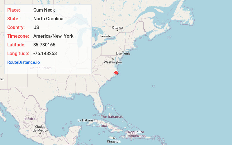
Gum Neck
North Carolina
US
America/New_York
Location Information
-
Full AddressGum Neck, NC 27925
-
Coordinates35.7301647, -76.1432526
-
LocationGum Neck , North Carolina , US
-
TimezoneAmerica/New_York
-
Current Local Time8:41:02 PM America/New_YorkSaturday, May 3, 2025
-
Page Views0
Directions to Nearest Cities
Nearby Places
Found 10 places within 50 miles

Frying Pan
5.5 mi
8.9 km
Frying Pan, NC 27925
Get directions

Kilkenny
7.7 mi
12.4 km
Kilkenny, NC 27826
Get directions
Scotia
9.9 mi
15.9 km
Scotia, NC 27925
Get directions
Mills Ridge
10.9 mi
17.5 km
Mills Ridge, NC 27925
Get directions
Jerry
11.5 mi
18.5 km
Jerry, NC 27925
Get directions
Pleasant View
12.1 mi
19.5 km
Pleasant View, NC 27925
Get directions
Carmur
12.6 mi
20.3 km
Carmur, NC 27826
Get directions
Fairfield
13.8 mi
22.2 km
Fairfield, NC 27826
Get directions
Dillion Ridge
14.0 mi
22.5 km
Dillion Ridge, NC 27925
Get directions

Columbia
14.3 mi
23.0 km
Columbia, NC 27925
Get directions
Frying Pan
5.5 mi
8.9 km
Frying Pan, NC 27925
Kilkenny
7.7 mi
12.4 km
Kilkenny, NC 27826
Scotia
9.9 mi
15.9 km
Scotia, NC 27925
Mills Ridge
10.9 mi
17.5 km
Mills Ridge, NC 27925
Jerry
11.5 mi
18.5 km
Jerry, NC 27925
Pleasant View
12.1 mi
19.5 km
Pleasant View, NC 27925
Carmur
12.6 mi
20.3 km
Carmur, NC 27826
Fairfield
13.8 mi
22.2 km
Fairfield, NC 27826
Dillion Ridge
14.0 mi
22.5 km
Dillion Ridge, NC 27925
Columbia
14.3 mi
23.0 km
Columbia, NC 27925
Location Links
Local Weather
Weather Information
Coming soon!
Location Map
Static map view of Gum Neck, North Carolina
Browse Places by Distance
Places within specific distances from Gum Neck
Short Distances
Long Distances
Click any distance to see all places within that range from Gum Neck. Distances shown in miles (1 mile ≈ 1.61 kilometers).