Distance to Scotia, North Carolina

Calculating Your Route
Just a moment while we process your request...
Location Information
-
Full AddressScotia, NC 27925
-
Coordinates35.859608, -76.2171484
-
LocationNorth Carolina , US
-
TimezoneAmerica/New_York
-
Current Local Time1:18:26 PM America/New_YorkTuesday, June 17, 2025
-
Page Views0
Nearby Places
Found 10 places within 50 miles

Jerry
1.6 mi
2.6 km
Jerry, NC 27925
Get directions

Columbia
4.5 mi
7.2 km
Columbia, NC 27925
Get directions
Scuppernong River
6.7 mi
10.8 km
Scuppernong River, North Carolina
Get directions

Frying Pan
7.5 mi
12.1 km
Frying Pan, NC 27925
Get directions

Creswell
9.8 mi
15.8 km
Creswell, NC 27928
Get directions
Fort Landing
10.4 mi
16.7 km
Fort Landing, NC 27925
Get directions
Goat Neck
10.9 mi
17.5 km
Goat Neck, NC 27925
Get directions
Galilee Mission
11.2 mi
18.0 km
Galilee Mission, NC 27928
Get directions
Skinnersville
18.7 mi
30.1 km
Skinnersville, NC 27970
Get directions
Burgess
21.8 mi
35.1 km
Burgess, NC 27944
Get directions
Location Links
Local Weather
Weather Information
Coming soon!
Location Map
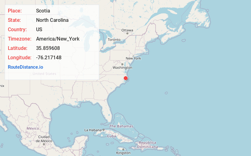
Static map view of Scotia, North Carolina
Browse Places by Distance
Places within specific distances from Scotia
Short Distances
Long Distances
Click any distance to see all places within that range from Scotia. Distances shown in miles (1 mile ≈ 1.61 kilometers).