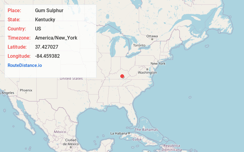
Distance to Gum Sulphur, Kentucky

Calculating Your Route
Just a moment while we process your request...
Location Information
-
Full AddressGum Sulphur, KY 40419
-
Coordinates37.4270269, -84.4593819
-
LocationKentucky , US
-
TimezoneAmerica/New_York
-
Current Local Time9:06:01 AM America/New_YorkMonday, June 23, 2025
-
Page Views0
Nearby Places
Found 10 places within 50 miles

Turkeytown
1.6 mi
2.6 km
Turkeytown, KY 40419
Get directions

Brodhead
3.0 mi
4.8 km
Brodhead, KY
Get directions

Crab Orchard
3.7 mi
6.0 km
Crab Orchard, KY 40419
Get directions
Cartersville
8.2 mi
13.2 km
Cartersville, KY 40403
Get directions

Mt Vernon
8.3 mi
13.4 km
Mt Vernon, KY 40456
Get directions
Wabd
8.7 mi
14.0 km
Wabd, KY 40456
Get directions
Maywood
9.4 mi
15.1 km
Maywood, KY 40484
Get directions
Halls Gap
9.8 mi
15.8 km
Halls Gap, KY 40489
Get directions
Goochtown
10.1 mi
16.3 km
Goochtown, KY 42567
Get directions
Sand Springs
10.5 mi
16.9 km
Sand Springs, KY 40456
Get directions
Location Links
Local Weather
Weather Information
Coming soon!
Location Map
Static map view of Gum Sulphur, Kentucky
Browse Places by Distance
Places within specific distances from Gum Sulphur
Short Distances
Long Distances
Click any distance to see all places within that range from Gum Sulphur. Distances shown in miles (1 mile ≈ 1.61 kilometers).