Distance to Wabd, Kentucky

Calculating Your Route
Just a moment while we process your request...
Location Information
-
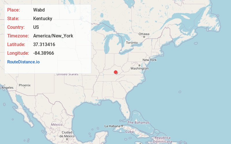
Full AddressWabd, KY 40456
-
Coordinates37.3134162, -84.38966
-
LocationKentucky , US
-
TimezoneAmerica/New_York
-
Current Local Time7:06:59 AM America/New_YorkSunday, June 29, 2025
-
Page Views0
About Wabd
Wabd, is an unincorporated community in Rockcastle County, Kentucky, United States. It was also called Green Yard. The name refers to the post office founder William A. B. Davis.
It is located on Kentucky Route 1250 just north of its terminus on Kentucky Route 461.
Nearby Places
Found 10 places within 50 miles

Sand Springs
2.0 mi
3.2 km
Sand Springs, KY 40456
Get directions

Mt Vernon
3.8 mi
6.1 km
Mt Vernon, KY 40456
Get directions

Brodhead
6.4 mi
10.3 km
Brodhead, KY
Get directions

Orlando
7.8 mi
12.6 km
Orlando, KY 40460
Get directions
Elrod
7.8 mi
12.6 km
Elrod, KY 42503
Get directions
Turkeytown
9.1 mi
14.6 km
Turkeytown, KY 40419
Get directions
Mullins
9.2 mi
14.8 km
Mullins, KY 40445
Get directions
Dahl
9.4 mi
15.1 km
Dahl, KY 42503
Get directions

Livingston
9.7 mi
15.6 km
Livingston, KY 40445
Get directions
Goochtown
10.9 mi
17.5 km
Goochtown, KY 42567
Get directions
Location Links
Local Weather
Weather Information
Coming soon!
Location Map
Static map view of Wabd, Kentucky
Browse Places by Distance
Places within specific distances from Wabd
Short Distances
Long Distances
Click any distance to see all places within that range from Wabd. Distances shown in miles (1 mile ≈ 1.61 kilometers).