Distance to Gunlock, Utah

Calculating Your Route
Just a moment while we process your request...
Location Information
-
Full AddressGunlock, UT
-
Coordinates37.2843711, -113.7662578
-
LocationGunlock , Utah , US
-
TimezoneAmerica/Denver
-
Current Local Time5:32:21 AM America/DenverMonday, June 30, 2025
-
Page Views0
About Gunlock
Gunlock is an unincorporated community in western Washington County, Utah, United States, north of Gunlock State Park.

Nearby Places
Found 10 places within 50 miles

Dammeron Valley
5.4 mi
8.7 km
Dammeron Valley, UT 84783
Get directions

Veyo
5.5 mi
8.9 km
Veyo, UT 84782
Get directions

Shem
6.4 mi
10.3 km
Shem, UT 84783
Get directions

Shivwits
7.2 mi
11.6 km
Shivwits, UT 84738
Get directions

Ivins
9.3 mi
15.0 km
Ivins, UT
Get directions

Central
12.0 mi
19.3 km
Central, UT 84722
Get directions

Santa Clara
12.1 mi
19.5 km
Santa Clara, UT
Get directions

Pine Valley
15.7 mi
25.3 km
Pine Valley, UT 84781
Get directions

St. George
16.9 mi
27.2 km
St. George, UT
Get directions

Washington
17.7 mi
28.5 km
Washington, UT
Get directions
Location Links
Local Weather
Weather Information
Coming soon!
Location Map
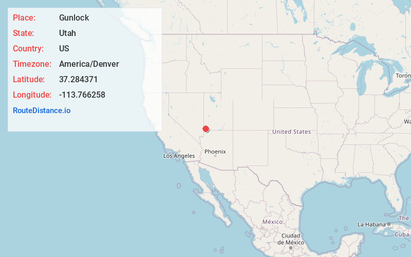
Static map view of Gunlock, Utah
Browse Places by Distance
Places within specific distances from Gunlock
Short Distances
Long Distances
Click any distance to see all places within that range from Gunlock. Distances shown in miles (1 mile ≈ 1.61 kilometers).