Distance to Gunlock State Park, Utah

Calculating Your Route
Just a moment while we process your request...
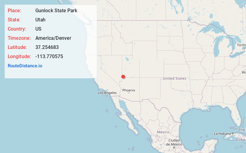
Location Information
-
Full AddressGunlock State Park, 1450 Gunlock Rd, Gunlock, UT 84733
-
Coordinates37.254683, -113.7705746
-
Street1450 Gunlock Rd
-
LocationGunlock , Utah , US
-
TimezoneAmerica/Denver
-
Current Local Time6:43:18 PM America/DenverThursday, July 3, 2025
-
Page Views0
About Gunlock State Park
Recreational reservoir open year-round for swimming & boating amid red rock scenery.


Nearby Places
Found 10 places within 50 miles

Gunlock
2.1 mi
3.4 km
Gunlock, UT
Get directions

Shem
4.4 mi
7.1 km
Shem, UT 84783
Get directions

Shivwits
5.1 mi
8.2 km
Shivwits, UT 84738
Get directions

Dammeron Valley
6.4 mi
10.3 km
Dammeron Valley, UT 84783
Get directions

Veyo
7.2 mi
11.6 km
Veyo, UT 84782
Get directions

Ivins
7.8 mi
12.6 km
Ivins, UT
Get directions

Santa Clara
10.6 mi
17.1 km
Santa Clara, UT
Get directions
Motoqua
13.0 mi
20.9 km
Motoqua, UT
Get directions

Central
13.8 mi
22.2 km
Central, UT 84722
Get directions

St. George
15.6 mi
25.1 km
St. George, UT
Get directions
Location Links
Local Weather
Weather Information
Coming soon!
Location Map
Static map view of Gunlock State Park, Utah
Browse Places by Distance
Places within specific distances from Gunlock State Park
Short Distances
Long Distances
Click any distance to see all places within that range from Gunlock State Park. Distances shown in miles (1 mile ≈ 1.61 kilometers).