Distance to Hachita, New Mexico

Calculating Your Route
Just a moment while we process your request...
Location Information
-
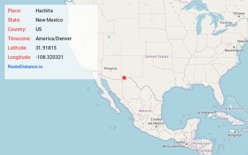
Full AddressHachita, NM 88040
-
Coordinates31.9181501, -108.3203211
-
LocationHachita , New Mexico , US
-
TimezoneAmerica/Denver
-
Current Local Time9:02:14 AM America/DenverSunday, June 1, 2025
-
Page Views0
About Hachita
Hachita is a census-designated place in Grant County, New Mexico, United States. Its population was 49 as of the 2010 census. Hachita has a post office with ZIP code 88040. New Mexico State Road 9, New Mexico State Road 81, and New Mexico State Road 146 pass through the community.


Nearby Places
Found 10 places within 50 miles

Windmill
18.3 mi
29.5 km
Windmill, NM 88020
Get directions
Cotton City
34.8 mi
56.0 km
Cotton City, NM 88020
Get directions
Sunshine
36.6 mi
58.9 km
Sunshine, NM 88030
Get directions

Lordsburg
37.5 mi
60.4 km
Lordsburg, NM 88045
Get directions
Pulpotio Bareas
38.2 mi
61.5 km
Pulpotio Bareas, NM 88030
Get directions
Glen Acres
39.3 mi
63.2 km
Glen Acres, NM 88045
Get directions
City of the Sun
39.8 mi
64.1 km
City of the Sun, NM
Get directions
La Hacienda
40.1 mi
64.5 km
La Hacienda, NM 88030
Get directions

Columbus
40.4 mi
65.0 km
Columbus, NM
Get directions

Deming
40.8 mi
65.7 km
Deming, NM 88030
Get directions
Location Links
Local Weather
Weather Information
Coming soon!
Location Map
Static map view of Hachita, New Mexico
Browse Places by Distance
Places within specific distances from Hachita
Short Distances
Long Distances
Click any distance to see all places within that range from Hachita. Distances shown in miles (1 mile ≈ 1.61 kilometers).