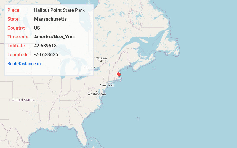
Distance to Halibut Point State Park, Massachusetts

Calculating Your Route
Just a moment while we process your request...
Location Information
-
Full AddressHalibut Point State Park, Gott Ave, Rockport, MA 01966
-
Coordinates42.6896175, -70.6336345
-
StreetGott Ave
-
LocationRockport , Massachusetts , US
-
TimezoneAmerica/New_York
-
Current Local Time1:57:12 AM America/New_YorkSunday, June 8, 2025
-
Page Views0
About Halibut Point State Park
Coastal area on 440 million year old granite offers spectacular views, wildflowers, visitors center.


Nearby Places
Found 10 places within 50 miles

Ocean View
0.6 mi
1.0 km
Ocean View, Rockport, MA 01966
Get directions

Rockport
2.5 mi
4.0 km
Rockport, MA
Get directions
Riverdale Station
3.8 mi
6.1 km
Riverdale Station, Gloucester, MA 01930
Get directions

Dogtown Commons
4.0 mi
6.4 km
Dogtown Commons, Gloucester, MA 01930
Get directions

Gloucester
4.7 mi
7.6 km
Gloucester, MA
Get directions
Riverview Landing
5.1 mi
8.2 km
Riverview Landing, Gloucester, MA 01930
Get directions
Five Pound Island
5.3 mi
8.5 km
Five Pound Island, Gloucester, MA 01930
Get directions
Freshwater Cove Village
7.0 mi
11.3 km
Freshwater Cove Village, Gloucester, MA 01930
Get directions

Little Neck
8.1 mi
13.0 km
Little Neck, Ipswich, MA 01938
Get directions
Camp Sea Haven
8.5 mi
13.7 km
Camp Sea Haven, Ipswich, MA 01938
Get directions
Location Links
Local Weather
Weather Information
Coming soon!
Location Map
Static map view of Halibut Point State Park, Massachusetts
Browse Places by Distance
Places within specific distances from Halibut Point State Park
Short Distances
Long Distances
Click any distance to see all places within that range from Halibut Point State Park. Distances shown in miles (1 mile ≈ 1.61 kilometers).