Distance to Riverview Landing, Massachusetts

Calculating Your Route
Just a moment while we process your request...
Location Information
-
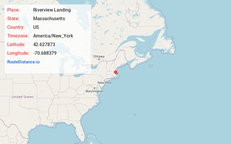
Full AddressRiverview Landing, Gloucester, MA 01930
-
Coordinates42.6278728, -70.6883785
-
LocationGloucester , Massachusetts , US
-
TimezoneAmerica/New_York
-
Current Local Time1:20:50 PM America/New_YorkFriday, June 20, 2025
-
Page Views0
Nearby Places
Found 10 places within 50 miles

Riverdale Station
1.3 mi
2.1 km
Riverdale Station, Gloucester, MA 01930
Get directions

Gloucester
1.4 mi
2.3 km
Gloucester, MA
Get directions
Freshwater Cove Village
2.2 mi
3.5 km
Freshwater Cove Village, Gloucester, MA 01930
Get directions

Rockport
3.8 mi
6.1 km
Rockport, MA
Get directions

Essex
4.8 mi
7.7 km
Essex, MA
Get directions

Manchester-by-the-Sea
5.3 mi
8.5 km
Manchester-by-the-Sea, MA
Get directions

Hamilton
7.9 mi
12.7 km
Hamilton, MA
Get directions
Wenham Neck
8.3 mi
13.4 km
Wenham Neck, Wenham, MA 01984
Get directions

Ipswich
8.4 mi
13.5 km
Ipswich, MA
Get directions

Wenham
10.2 mi
16.4 km
Wenham, MA 01984
Get directions
Location Links
Local Weather
Weather Information
Coming soon!
Location Map
Static map view of Riverview Landing, Massachusetts
Browse Places by Distance
Places within specific distances from Riverview Landing
Short Distances
Long Distances
Click any distance to see all places within that range from Riverview Landing. Distances shown in miles (1 mile ≈ 1.61 kilometers).