Distance to Hampton, Missouri

Calculating Your Route
Just a moment while we process your request...
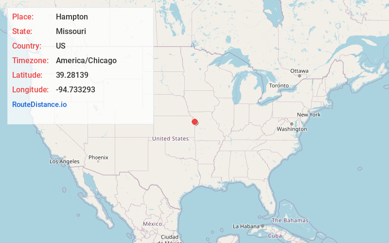
Location Information
-
Full AddressHampton, Kansas City, MO 64153
-
Coordinates39.2813903, -94.7332932
-
LocationKansas City , Missouri , US
-
TimezoneAmerica/Chicago
-
Current Local Time8:35:31 AM America/ChicagoSaturday, June 21, 2025
-
Page Views0
About Hampton
Hampton, Missouri was a small hamlet in rural Platte County, Missouri.
The area around Hampton was picked in 1953 to be home for the Kansas City Industrial Airport. In 1966, Kansas City, Missouri, annexed the hamlet as part of upgrading the airport to Kansas City International Airport.
Nearby Places
Found 10 places within 50 miles

Platte Gardens
2.9 mi
4.7 km
Platte Gardens, Kansas City, MO 64153
Get directions
Tarrytown
3.0 mi
4.8 km
Tarrytown, Kansas City, MO 64153
Get directions

Weatherby Lake
3.6 mi
5.8 km
Weatherby Lake, MO 64152
Get directions
Ferrelview
4.2 mi
6.8 km
Ferrelview, MO
Get directions
Waldron
5.2 mi
8.4 km
Waldron, MO 64152
Get directions
Farley
5.2 mi
8.4 km
Farley, MO
Get directions
Platte Woods
5.8 mi
9.3 km
Platte Woods, MO 64151
Get directions

Lake Waukomis
6.1 mi
9.8 km
Lake Waukomis, MO 64151
Get directions

Parkville
6.6 mi
10.6 km
Parkville, MO
Get directions

Platte City
6.7 mi
10.8 km
Platte City, MO 64079
Get directions
Location Links
Local Weather
Weather Information
Coming soon!
Location Map
Static map view of Hampton, Missouri
Browse Places by Distance
Places within specific distances from Hampton
Short Distances
Long Distances
Click any distance to see all places within that range from Hampton. Distances shown in miles (1 mile ≈ 1.61 kilometers).