Distance to Hannibal, Wisconsin

Calculating Your Route
Just a moment while we process your request...
Location Information
-
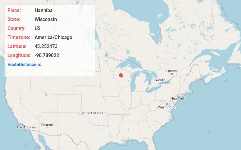
Full AddressHannibal, WI 54433
-
Coordinates45.2524731, -90.789022
-
LocationHannibal , Wisconsin , US
-
TimezoneAmerica/Chicago
-
Current Local Time7:17:34 AM America/ChicagoWednesday, May 28, 2025
-
Page Views0
About Hannibal
Hannibal is an unincorporated community located in Taylor County, Wisconsin, United States. Hannibal is located on Wisconsin Highway 73 and County Highway M north of Gilman, in the town of Cleveland. Today Hannibal is quiet, but once it was a bustling little economic hub at the junction of two logging railroads.
Nearby Places
Found 10 places within 50 miles

Hughey
4.3 mi
6.9 km
Hughey, WI 54433
Get directions
Donald
5.3 mi
8.5 km
Donald, WI 54766
Get directions

Gilman
6.0 mi
9.7 km
Gilman, WI 54433
Get directions
Jump River
7.0 mi
11.3 km
Jump River, WI
Get directions
Polley
7.8 mi
12.6 km
Polley, WI 54433
Get directions
Sheldon
9.1 mi
14.6 km
Sheldon, WI 54766
Get directions

Perkinstown
9.1 mi
14.6 km
Perkinstown, WI 54451
Get directions
Arnold
10.5 mi
16.9 km
Arnold, WI 54745
Get directions
Ruby
11.0 mi
17.7 km
Ruby, WI 54433
Get directions
Lublin
12.5 mi
20.1 km
Lublin, WI 54447
Get directions
Location Links
Local Weather
Weather Information
Coming soon!
Location Map
Static map view of Hannibal, Wisconsin
Browse Places by Distance
Places within specific distances from Hannibal
Short Distances
Long Distances
Click any distance to see all places within that range from Hannibal. Distances shown in miles (1 mile ≈ 1.61 kilometers).