Distance to Hart, Missouri

Calculating Your Route
Just a moment while we process your request...
Location Information
-
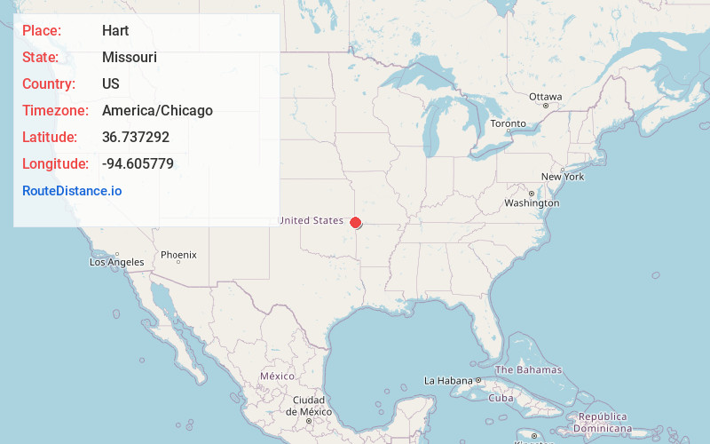
Full AddressHart, MO 64865
-
Coordinates36.7372921, -94.6057793
-
LocationHart , Missouri , US
-
TimezoneAmerica/Chicago
-
Current Local Time3:20:21 PM America/ChicagoFriday, June 6, 2025
-
Page Views0
About Hart
Hart is an unincorporated community in northwest McDonald County, in the U.S. state of Missouri. The community is located along Missouri Route 43, north of Tiff City and less than one-half mile east of the Missouri - Oklahoma border.
Nearby Places
Found 10 places within 50 miles

May
4.7 mi
7.6 km
May, Buffalo May Township, MO 64843
Get directions
Tiff City
4.8 mi
7.7 km
Tiff City, MO
Get directions
Turkey Ford
5.6 mi
9.0 km
Turkey Ford, OK
Get directions
Dessa
6.7 mi
10.8 km
Dessa, Buffalo Township, MO
Get directions

Seneca
7.2 mi
11.6 km
Seneca, MO 64865
Get directions

Wyandotte
7.7 mi
12.4 km
Wyandotte, OK 74370
Get directions
Westview
8.4 mi
13.5 km
Westview, MO 64850
Get directions
Cayuga
8.4 mi
13.5 km
Cayuga, OK 74344
Get directions
Splitlog
8.4 mi
13.5 km
Splitlog, Anderson West Township, MO 64831
Get directions
Elliff
10.0 mi
16.1 km
Elliff, MO 64843
Get directions
Location Links
Local Weather
Weather Information
Coming soon!
Location Map
Static map view of Hart, Missouri
Browse Places by Distance
Places within specific distances from Hart
Short Distances
Long Distances
Click any distance to see all places within that range from Hart. Distances shown in miles (1 mile ≈ 1.61 kilometers).